Plaza Agrupación Folklórica Guanapay
Plaza Agrupación Folklórica Guanapay is a park in Teguise, Las Palmas. Plaza Agrupación Folklórica Guanapay is situated nearby to the church Convento de Santo Domingo, as well as near the town hall Ayuntamiento de Teguise.| Tap on a place to explore it |
Places of Interest Nearby
Highlights include Church of Nuestra Señora de Guadalupe.
Church of Nuestra Señora de Guadalupe
Church
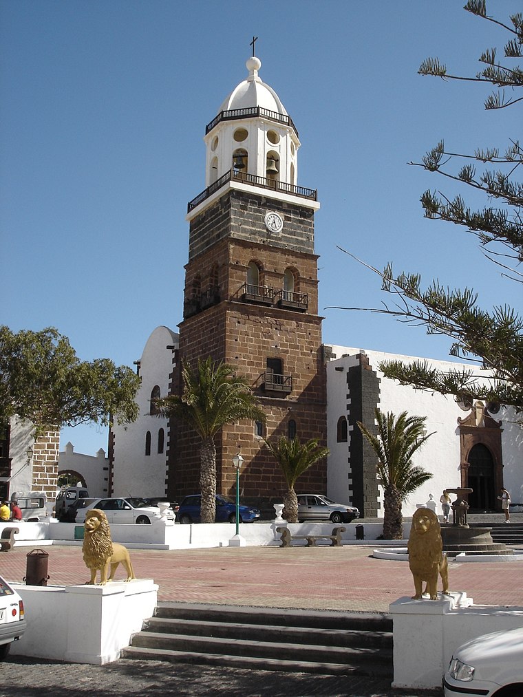
Photo: Khero, CC BY-SA 3.0.
Church of Nuestra Señora de Guadalupe is situated 250 metres northeast of Plaza Agrupación Folklórica Guanapay.
Places in the Area
Nearby places include Teguise and Tahiche.
Teguise
Village

Photo: Wiki05, Public domain.
Teguise, also known in Spanish as La Villa de Teguise, is a village in the municipality of Teguise in the north-central part of the island of Lanzarote in Las Palmas province in the Canary Islands.
Tahiche
Village

Photo: Wikimedia, CC BY-SA 3.0.
Tahíche is a village located in the municipality of Teguise on the island of Lanzarote. According to the 2009 census, it had a population of 3,865, in 2011 a population of 4,101. Tahiche is situated 5 km south of Plaza Agrupación Folklórica Guanapay.
Soo
Village

Photo: Michiel1972, CC BY-SA 3.0.
Sóo is a village in the municipality of Teguise on the island of Lanzarote in the Canary Islands. Soo is situated 8 km northwest of Plaza Agrupación Folklórica Guanapay.
Plaza Agrupación Folklórica Guanapay
- Type: Park
- Category: recreation area
- Location: Teguise, Las Palmas, Lanzarote, Canary Islands, Spain, Iberia, Europe
- View on OpenStreetMap
Latitude
29.05751° or 29° 3′ 27″ northLongitude
-13.56107° or 13° 33′ 40″ westOpen location code
7CX83C5Q+2HOpenStreetMap ID
way 757846909OpenStreetMap feature
leisure=park
This page is based on OpenStreetMap, Wikidata, and Wikimedia Commons.
We’d love your help improving our open data sources. Thank you for contributing.
Satellite Map
Discover Plaza Agrupación Folklórica Guanapay from above in high-definition satellite imagery.
Notable Places Nearby
Highlights include Convento de Santo Domingo and Ayuntamiento de Teguise.
Nearby Places
Explore places such as Ayuntamiento de Teguise and La Tahona.
Lanzarote: Must-Visit Destinations
Delve into Arrecife, Haría, San Bartolomé, and Playa Blanca.
Curious Parks to Discover
Uncover intriguing parks from every corner of the globe.
About Mapcarta. Data © OpenStreetMap contributors and available under the Open Database License". Text is available under the CC BY-SA 4.0 license, except for photos, directions, and the map. Photo: Brian Snelson, CC BY 2.0.