Narval C
Narval C is an office building in Nanterre, Hauts-de-Seine, Île-de-France. Narval C is situated nearby to the hospital Maison départementale de Nanterre, as well as near the ruins Vestige du barrage à aiguilles.| Tap on a place to explore it |
Places of Interest Nearby
Highlights include Pont de Bezons and Chapelle Sainte-Catherine-de-Sienne de Nanterre.
Pont de Bezons
Bridge
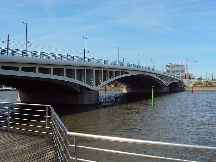
Photo: Akiry, CC BY-SA 3.0.
Pont de Bezons is a bridge, which is situated 590 metres north of Narval C.
Chapelle Sainte-Catherine-de-Sienne de Nanterre
Church

Photo: Gwenlune, CC BY-SA 4.0.
Chapelle Sainte-Catherine-de-Sienne de Nanterre is a church, which is situated 1 km south of Narval C.
La Contemporaine
Library
La Contemporaine. Bibliothèque, archives, musée des mondes contemporains is a French cultural and scientific institution composed of a library, an archive center and a museum, specialized in the history of the 20th and 21st centuries. La Contemporaine is situated 1½ km south of Narval C.
Places in the Area
Nearby places include Bezons and La Garenne-Colombes.
Bezons
Town

Photo: Altona, CC BY-SA 4.0.
Bezons is a commune in the northwestern suburbs of Paris, France. It is located 12.6 km from the centre of Paris.
La Garenne-Colombes
Town

Photo: Garennois92, CC BY-SA 4.0.
La Garenne-Colombes is a commune in the northwestern suburbs of Paris, France. It is located 9.6 km from Notre Dame de Paris, France's kilometre zero.
Houilles
Town

Photo: PharaonHouilles, CC BY-SA 4.0.
Houilles is a commune in the Yvelines department in the Île-de-France region in north-central France. It is a northwestern suburb of Paris, located 14.2 km from the center of Paris.
Narval C
- Type: Office building
- Roof shape: flat
- Categories: building and office
- Location: Nanterre, Arrondissement of Nanterre, Hauts-de-Seine, Île-de-France, France, Europe
- View on OpenStreetMap
Latitude
48.91565° or 48° 54′ 56″ northLongitude
2.21764° or 2° 13′ 4″ eastHeight
14 metres (46 feet)Open location code
8FW4W689+73OpenStreetMap ID
way 76696267OpenStreetMap feature
building=officeOpenStreetMap attribute
roof-shape=flat
This page is based on OpenStreetMap, Wikidata, and Wikimedia Commons.
We’d love your help improving our open data sources. Thank you for contributing.
Satellite Map
Discover Narval C from above in high-definition satellite imagery.
Notable Places Nearby
Highlights include Maison départementale de Nanterre and Vestige du barrage à aiguilles.
Nearby Places
Explore places such as Narval B and Daikin France.
Île-de-France: Must-Visit Destinations
Delve into Paris, Versailles, Boulogne-Billancourt, and Paris Charles de Gaulle Airport.
Curious Office Buildings to Discover
Uncover intriguing office buildings from every corner of the globe.
About Mapcarta. Data © OpenStreetMap contributors and available under the Open Database License". Text is available under the CC BY-SA 4.0 license, except for photos, directions, and the map. Photo: Clicsouris, CC BY-SA 2.5.