Dépot Darty
Dépot Darty is a warehouse in Bezons, Arrondissement of Argenteuil, Île-de-France. Dépot Darty is situated nearby to the fire station Centre d’incendie et de secours de Bezons, as well as near the park Square Camille Desmoulins.| Tap on a place to explore it |
Places of Interest Nearby
Highlights include Parc Pierre-Lagravère and Église Saint-Martin de Bezons.
Parc Pierre-Lagravère
Park

Photo: Claude-Henri Watelet, Public domain.
Parc départemental Pierre-Lagravère, often called by its old name, Parc de l'île Marante, is a public park located on the banks of the river Seine in Colombes, northwest of Paris. Parc Pierre-Lagravère is situated 740 metres east of Dépot Darty.
Église Saint-Martin de Bezons
Church

Photo: Thomon, CC BY-SA 4.0.
Église Saint-Martin de Bezons is a church, which is situated 520 metres west of Dépot Darty.
Pont de Bezons
Bridge
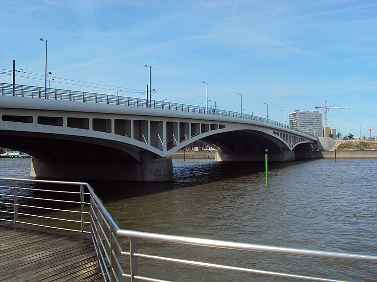
Photo: Akiry, CC BY-SA 3.0.
Pont de Bezons is a bridge, which is situated 600 metres south of Dépot Darty.
Places in the Area
Nearby places include Bezons and Colombes.
Bezons
Town

Photo: Altona, CC BY-SA 4.0.
Bezons is a commune in the northwestern suburbs of Paris, France. It is located 12.6 km from the centre of Paris.
Colombes
Town

Photo: Chabe01, CC BY-SA 4.0.
Colombes is a commune in the northwestern suburbs of Paris, France, 10.6 km from the centre of Paris. In 2019, Colombes was the 53rd largest city in France.
Houilles
Town

Photo: PharaonHouilles, CC BY-SA 4.0.
Houilles is a commune in the Yvelines department in the Île-de-France region in north-central France. It is a northwestern suburb of Paris, located 14.2 km from the center of Paris. Houilles is situated 2½ km west of Dépot Darty.
Dépot Darty
- Type: Warehouse
- Category: building
- Location: Bezons, Arrondissement of Argenteuil, Val d’Oise, Île-de-France, France, Europe
- View on OpenStreetMap
Latitude
48.92584° or 48° 55′ 33″ northLongitude
2.22251° or 2° 13′ 21″ eastOpen location code
8FW4W6GF+82OpenStreetMap ID
way 76727665OpenStreetMap feature
building=warehouse
This page is based on OpenStreetMap, Wikidata, and Wikimedia Commons.
We’d love your help improving our open data sources. Thank you for contributing.
Satellite Map
Discover Dépot Darty from above in high-definition satellite imagery.
Notable Places Nearby
Highlights include Centre d’incendie et de secours de Bezons and Square Camille Desmoulins.
Nearby Places
Explore places such as Le Paradis and Le Paradis.
Île-de-France: Must-Visit Destinations
Delve into Paris, Versailles, Boulogne-Billancourt, and Paris Charles de Gaulle Airport.
Curious Warehouses to Discover
Uncover intriguing warehouses from every corner of the globe.
About Mapcarta. Data © OpenStreetMap contributors and available under the Open Database License". Text is available under the CC BY-SA 4.0 license, except for photos, directions, and the map. Photo: Patrice78500, Public domain.