Moulin de Giboudet
Moulin de Giboudet is a house in Maulette, Arrondissement of Mantes-la-Jolie, Île-de-France which is located on Moulin de Giboudet. Moulin de Giboudet is situated nearby to the peak La Butte aux Cercueils, as well as near the village Houdan.| Tap on a place to explore it |
Places of Interest Nearby
Highlights include Église Saint-Pierre de Maulette and Gare de Houdan.
Église Saint-Pierre de Maulette
Church

Photo: Henrysalome, CC BY-SA 3.0.
Église Saint-Pierre de Maulette is a church, which is situated 1¼ km southwest of Moulin de Giboudet.
Gare de Houdan
Railway station
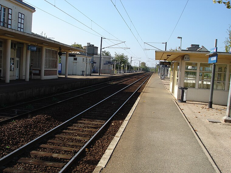
Photo: Parisdreux, CC BY-SA 3.0.
Gare de Houdan is a railway station, which is situated 2 km west of Moulin de Giboudet.
Donjon de Houdan

Photo: Henrysalome, CC BY 2.5.
The Donjon de Houdan is a medieval fortified tower in the commune of Houdan in the Yvelines département of France. Donjon de Houdan is situated 2½ km southwest of Moulin de Giboudet.
Places in the Area
Nearby places include Houdan and Berchères-sur-Vesgre.
Houdan
Village

Photo: Coyau, CC BY-SA 3.0.
Houdan is a commune of the Yvelines department 63 kilometres west of Paris in the north of France.
Berchères-sur-Vesgre
Village

Photo: Rivolion, CC BY-SA 3.0.
Berchères-sur-Vesgre is a commune in the Eure-et-Loir department in northern France. Berchères-sur-Vesgre is situated 8 km northwest of Moulin de Giboudet.
Garancières
Village

Photo: Henrysalome, CC BY-SA 3.0.
Garancières is a commune in the Yvelines department in the Île-de-France region in north-central France. Garancières is situated 9 km east of Moulin de Giboudet.
Moulin de Giboudet
- Type: House
- Address: Moulin de Giboudet, Bazainville, 78550
- Categories: building and residential building
- Location: Maulette, Arrondissement of Mantes-la-Jolie, Yvelines, Île-de-France, France, Europe
- View on OpenStreetMap
Latitude
48.80171° or 48° 48′ 6″ northLongitude
1.6298° or 1° 37′ 47″ eastLevels
2Operator
Chambres d’hôtes, Studio PilatesOpen location code
8FW3RJ2H+MWOpenStreetMap ID
way 77540984OpenStreetMap feature
building=house
This page is based on OpenStreetMap, Wikidata, and Wikimedia Commons.
We’d love your help improving our open data sources. Thank you for contributing.
Satellite Map
Discover Moulin de Giboudet from above in high-definition satellite imagery.
Notable Places Nearby
Highlights include La Butte aux Cercueils and Gendarmerie Nationale de Maulette.
Nearby Places
Explore places such as Les Vignes de l’Aulnaye and Plaine de Houdan.
Île-de-France: Must-Visit Destinations
Delve into Paris, Versailles, Boulogne-Billancourt, and Paris Charles de Gaulle Airport.
Curious Houses to Discover
Uncover intriguing houses from every corner of the globe.
About Mapcarta. Data © OpenStreetMap contributors and available under the Open Database License". Text is available under the CC BY-SA 4.0 license, except for photos, directions, and the map. Photo: Inkey, CC BY-SA 3.0.