Freiwillige Feuerwehr Hofweiler
Freiwillige Feuerwehr Hofweiler is a fire station in Welschbillig, Trier-Saarburg, Rhineland-Palatinate which is located on Waldstraße. Freiwillige Feuerwehr Hofweiler is situated nearby to the church St. Markus, as well as near the peak Kuh Berg.| Tap on a place to explore it |
Places of Interest Nearby
Highlights include Churches in Kordel and Zemmer Observation Tower.
Churches in Kordel
Church
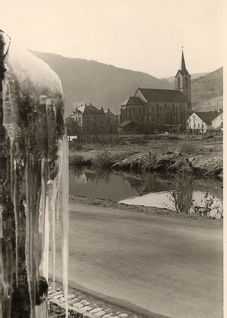
Photo: CTHOE, CC BY-SA 3.0.
Churches in Kordel is situated 3 km south of Freiwillige Feuerwehr Hofweiler.
Zemmer Observation Tower
Scenic viewpoint

Photo: Muck50, CC BY-SA 4.0.
Zemmer Observation Tower is a scenic viewpoint, which is situated 4 km east of Freiwillige Feuerwehr Hofweiler.
Places in the Area
Nearby places include Hosten and Kordel.
Hosten
Village

Photo: CTHOE, CC BY-SA 4.0.
Hosten is a municipality in the district of Bitburg-Prüm, in Rhineland-Palatinate, western Germany. Hosten is situated 3 km north of Freiwillige Feuerwehr Hofweiler.
Kordel
Village

Photo: Toksave, CC BY-SA 3.0.
Kordel is a municipality in the Trier-Saarburg district, in Rheinland-Pfalz, Germany. It is home to the ruins of Ramstein Castle. Kordel was severely affected by the 2021 European floods. Kordel is situated 3½ km south of Freiwillige Feuerwehr Hofweiler.
Idesheim
Village

Photo: Palauenc05, CC BY-SA 4.0.
Idesheim is a municipality in the district of Bitburg-Prüm, in Rhineland-Palatinate, western Germany. Idesheim is situated 4 km west of Freiwillige Feuerwehr Hofweiler.
Freiwillige Feuerwehr Hofweiler
- Type: Fire station
- Address: Waldstraße 2, Hofweiler, Welschbillig, 54298
- Categories: building and public building
- Location: Welschbillig, Trier-Saarburg, Rhineland-Palatinate, Germany, Central Europe, Europe
- View on OpenStreetMap
Latitude
49.8672° or 49° 52′ 2″ northLongitude
6.62513° or 6° 37′ 31″ eastOperator
Verbandsgemeinde Trier-LandOpen location code
8FX8VJ8G+V3OpenStreetMap ID
way 779542560OpenStreetMap feature
amenity=fire_stationOpenStreetMap feature
building=public
This page is based on OpenStreetMap, Wikidata, and Wikimedia Commons.
We’d love your help improving our open data sources. Thank you for contributing.
Satellite Map
Discover Freiwillige Feuerwehr Hofweiler from above in high-definition satellite imagery.
Notable Places Nearby
Highlights include St. Markus and Kuh Berg.
Nearby Places
Explore places such as Hofweiler, Ort and Hofweiler, Ort.
Rhineland-Palatinate: Must-Visit Destinations
Delve into Mainz, Trier, Koblenz, and Worms.
Curious Fire Stations to Discover
Uncover intriguing fire stations from every corner of the globe.
About Mapcarta. Data © OpenStreetMap contributors and available under the Open Database License". Text is available under the CC BY-SA 4.0 license, except for photos, directions, and the map. Photo: Traveler100, CC BY-SA 3.0.