Zum Bürstenbinder
Zum Bürstenbinder is a guest house in Ramberg, Südliche Weinstraße, Rhineland-Palatinate which is located on Schloßbergstraße. Zum Bürstenbinder is situated nearby to the fountain Balthersbrunnen, as well as near the fire station Freiwillige Feuerwehr Ramberg.| Tap on a place to explore it |
- Type: Guest house
- Address: Schloßbergstraße 3, Ramberg, 76857
- Wheelchair access: no
Places of Interest Nearby
Highlights include Brushmakers’ Museum, Ramberg and Ramburg.
Brushmakers’ Museum, Ramberg
Museum

Photo: H. Schreiber, CC BY-SA 3.0.
The Brushmakers' Museum in Ramberg is a local history museum in the village of Ramberg in the German state of Rhineland-Palatinate. The responsible body that set the museum up in 1997 and has run it since then is the Local History and Museum Society of the Brushmakers' Workshop, Ramber.
Ramburg
Castle

Photo: Dokape, CC BY-SA 3.0.
The Ramburg is a ruined hill castle in the county of Südliche Weinstraße, in the German state of Rhineland-Palatinate. Ramburg is situated 500 metres north of Zum Bürstenbinder.
Neuscharfeneck Castle
Castle

Photo: Dokape, CC BY-SA 3.0.
The castle of Neuscharfeneck is a ruin and a cultural monument above Ramberg and Dernbach on the territory of an exclave of Flemlingen in the district of Südliche Weinstraße in the west German state of Rhineland-Palatinate. Neuscharfeneck Castle is situated 1½ km southeast of Zum Bürstenbinder.
Places in the Area
Nearby places include Dernbach and Vogelstockerhof.
Dernbach
Village

Photo: Gerd Eichmann, CC BY-SA 4.0.
Dernbach is a municipality in the Südliche Weinstraße district, in Rhineland-Palatinate, Germany.
Vogelstockerhof
Hamlet
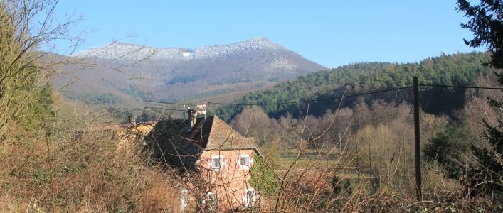
Photo: Vogelstockerhof, CC BY-SA 4.0.
Vogelstockerhof is a hamlet, which is situated 3½ km south of Zum Bürstenbinder.
Eußerthal
Village

Photo: Gerd Eichmann, CC BY-SA 4.0.
Eußerthal is a municipality in the Südliche Weinstraße district of Rhineland-Palatinate, Germany. Eußerthal is situated 3½ km southwest of Zum Bürstenbinder.
Zum Bürstenbinder
- Categories: restaurant, building, tourism, hotel building, and accommodation
- Location: Ramberg, Südliche Weinstraße, Rhineland-Palatinate, Germany, Central Europe, Europe
- View on OpenStreetMap
Latitude
49.26215° or 49° 15′ 44″ northLongitude
8.00847° or 8° 0′ 31″ eastOpen location code
8FXC7265+V9OpenStreetMap ID
way 786324165OpenStreetMap feature
amenity=restaurantOpenStreetMap feature
building=hotelOpenStreetMap feature
tourism=guest_houseOpenStreetMap attribute
wheelchair=no
This page is based on OpenStreetMap, Wikidata, and Wikimedia Commons.
We’d love your help improving our open data sources. Thank you for contributing.
Satellite Map
Discover Zum Bürstenbinder from above in high-definition satellite imagery.
Notable Places Nearby
Highlights include Balthersbrunnen and Freiwillige Feuerwehr Ramberg.
Nearby Places
Explore places such as Besen- und Bürstenfabrik Harald & Hans-Dieter Klein and Wandern Rund um Ramberg.
Rhineland-Palatinate: Must-Visit Destinations
Delve into Mainz, Trier, Koblenz, and Worms.
Curious Guest Houses to Discover
Uncover intriguing guest houses from every corner of the globe.
About Mapcarta. Data © OpenStreetMap contributors and available under the Open Database License". Text is available under the CC BY-SA 4.0 license, except for photos, directions, and the map. Photo: Traveler100, CC BY-SA 3.0.