Pier 70, 71, 72
Pier 70, 71, 72 is a pier in Philadelphia, Philadelphia Region, Pennsylvania. Pier 70, 71, 72 is situated nearby to Pier 69, as well as near Pier 77.| Tap on a place to explore it |
Places of Interest Nearby
Highlights include First Presbyterian Church of Kensington and Kensington Methodist Episcopal Church.
First Presbyterian Church of Kensington
Church

Photo: Wikimedia, Public domain.
First Presbyterian Church of Kensington is situated 2,200 feet west of Pier 70, 71, 72.
Kensington Methodist Episcopal Church
Church

Photo: elipousson, CC BY-SA 2.0.
Kensington Methodist Episcopal Church is situated 2,300 feet west of Pier 70, 71, 72.
George Chandler School
Apartment building

Photo: Smallbones, Public domain.
The George Chandler School is an historic school building which is located in the Fishtown neighborhood of Philadelphia, Pennsylvania. It was added to the National Register of Historic Places in 1988. George Chandler School is situated 1,400 feet west of Pier 70, 71, 72.
Places in the Area
Nearby places include Fishtown and Cooper Point.
Fishtown
Neighborhood

Photo: Malepheasant, CC BY-SA 2.5.
Fishtown is a neighborhood in the River Wards section of Philadelphia, Pennsylvania, United States. Located northeast of Center City Philadelphia, its borders are somewhat disputed today due to many factors, but are roughly defined by the triangle created by the Delaware River, Front Street, and York Street.
Cooper Point
Neighborhood
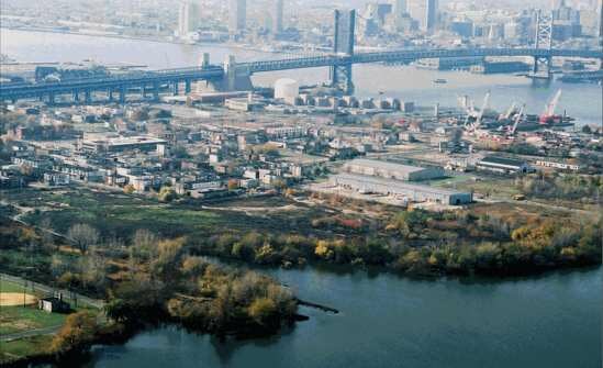
Photo: Wikimedia, Public domain.
Cooper Point is a neighborhood in the northwestern part of Camden, New Jersey, United States. According to the 2000 U.S. Census, the neighborhood has a population of 2,880.
Northern Liberties
Neighborhood

Photo: Smallbones, Public domain.
Northern Liberties is a neighborhood in Philadelphia, Pennsylvania, United States. It is north of Center City along the Delaware River. Prior to its incorporation into Philadelphia in 1854, it was among the top 10 largest cities in the U.S. in every census from 1790 to 1840, and 11th in 1850.
Pier 70, 71, 72
- Type: Pier
- Category: transportation
- Location: Philadelphia, Philadelphia, Philadelphia Region, Pennsylvania, Mid-Atlantic, United States, North America
- View on OpenStreetMap
Latitude
39.96865° or 39° 58′ 7″ northLongitude
-75.12201° or 75° 7′ 19″ westOpen location code
87F6XV9H+F5OpenStreetMap ID
way 787642741OpenStreetMap feature
man_made=pier
This page is based on OpenStreetMap, Wikidata, and Wikimedia Commons.
We’d love your help improving our open data sources. Thank you for contributing.
Satellite Map
Discover Pier 70, 71, 72 from above in high-definition satellite imagery.
Notable Places Nearby
Highlights include Pier 69 and Pier 77.
Nearby Places
Explore places such as Cramp Shipbuilding Co. Site and Northbank.
Philadelphia: Must-Visit Destinations
Delve into Philadelphia International Airport, Old City, West Philadelphia, and Center City West.
Curious Piers to Discover
Uncover intriguing piers from every corner of the globe.
About Mapcarta. Data © OpenStreetMap contributors and available under the Open Database License". Text is available under the CC BY-SA 4.0 license, except for photos, directions, and the map. Photo: Dave Z, CC BY 2.0.