Gemeenteschool De Kriek
Gemeenteschool De Kriek is a school in Schaarbeek, Arrondissement of Brussels-Capital. Gemeenteschool De Kriek is situated nearby to Church of St. Alice, as well as near the square Place Colonel Bremer - Kolonel Bremerplein.| Tap on a place to explore it |
Places of Interest Nearby
Highlights include Church of St. Alice and Place des Bienfaiteurs - Weldoenersplein.
Church of St. Alice
Church

Photo: Varech, Public domain.
Church of St. Alice is situated 160 metres southwest of Gemeenteschool De Kriek.
Place des Bienfaiteurs - Weldoenersplein
Square

Photo: Varech, Public domain.
Place des Bienfaiteurs - Weldoenersplein is a square, which is situated 280 metres northwest of Gemeenteschool De Kriek.
Place de la Patrie - Vaderlandsplein
Square
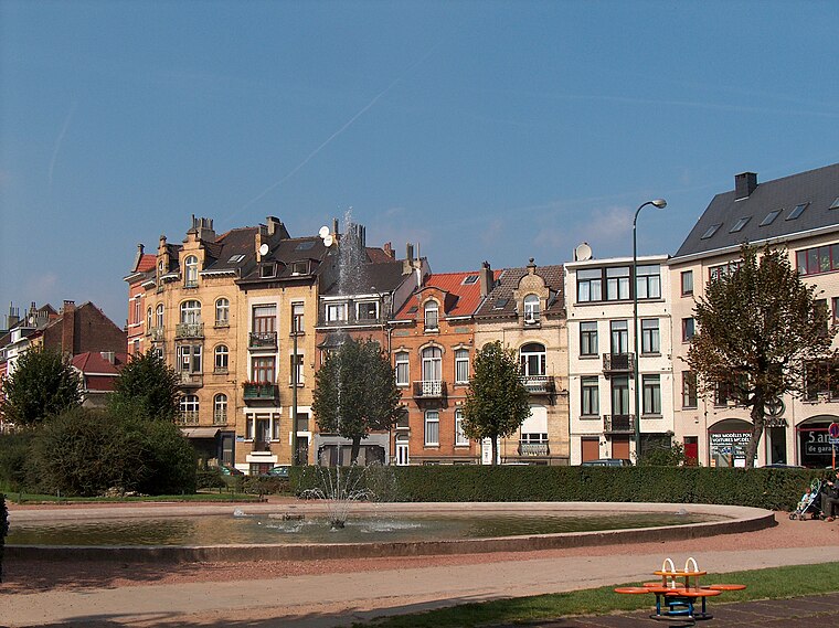
Photo: Varech, Public domain.
Place de la Patrie - Vaderlandsplein is a square, which is situated 310 metres east of Gemeenteschool De Kriek.
Places in the Area
Nearby places include Monrose and Flowers Quarter.


Squares Quarter
Neighborhood

Photo: Istvan Vizi, CC BY 3.0.
The Squares Quarter is a quarter of Brussels, Belgium. The district is the northern spur of the European Quarter, located between Saint-Josse-ten-Noode and the Leopold Quarter.
Gemeenteschool De Kriek
- Type: School
- Category: education
- Location: Schaarbeek, Arrondissement of Brussels-Capital, Brussels, Brussels Capital, Brussels, Belgium, Benelux, Europe
- View on OpenStreetMap
Latitude
50.85604° or 50° 51′ 22″ northLongitude
4.38681° or 4° 23′ 13″ eastInception
September 1st, 2022Open location code
9F26V94P+CPOpenStreetMap ID
way 794917376OpenStreetMap feature
amenity=school
This page is based on OpenStreetMap, Wikidata, and Wikimedia Commons.
We’d love your help improving our open data sources. Thank you for contributing.
Satellite Map
Discover Gemeenteschool De Kriek from above in high-definition satellite imagery.
Notable Places Nearby
Highlights include Place Colonel Bremer - Kolonel Bremerplein and Monument aux Bienfaiteurs et ses abords - Monument voor de Weldoeners der Armen.
Nearby Places
Explore places such as Thierry Devreker and École communale 10.
Brussels: Must-Visit Destinations
Delve into Pentagon, Brussels Airport, Centre, and Molenbeek and surroundings.
Curious Places to Discover
Uncover intriguing places from every corner of the globe.
About Mapcarta. Data © OpenStreetMap contributors and available under the Open Database License". Text is available under the CC BY-SA 4.0 license, except for photos, directions, and the map. Photo: Varech, CC BY-SA 3.0.