Vin de l’Académie
Vin de l’Académie is a vineyard in Chaville, Arrondissement of Boulogne-Billancourt, Île-de-France. Vin de l’Académie is situated nearby to the public building maison de l’enfance et de la jeunesse, as well as near the square Place Charles Aznavour.| Tap on a place to explore it |
Places of Interest Nearby
Highlights include Gare de Chaville-Rive-Droite and Église apostolique arménienne Saint-Grégoire-l’Illuminateur de Chaville.
Gare de Chaville-Rive-Droite
Railway station

Photo: Geralix, CC BY-SA 3.0.
Gare de Chaville-Rive-Droite is a railway station, which is situated 140 metres northeast of Vin de l’Académie.
Église apostolique arménienne Saint-Grégoire-l’Illuminateur de Chaville
Church

Photo: FR, CC BY-SA 3.0.
Église apostolique arménienne Saint-Grégoire-l’Illuminateur de Chaville is a church, which is situated 220 metres south of Vin de l’Académie.
Église Notre-Dame-de-Lourdes de Chaville
Church

Photo: Chabe01, CC BY-SA 4.0.
Église Notre-Dame-de-Lourdes de Chaville is a church, which is situated 360 metres southeast of Vin de l’Académie.
Places in the Area
Nearby places include Chaville and Viroflay.
Chaville
Town

Photo: Chabe01, CC BY-SA 4.0.
Chaville is a commune in the Hauts-de-Seine department and Île-de-France region of north-central France. It lies some 12 kilometres from the centre of Paris in the south-western suburbs of the French capital.
Viroflay
Town
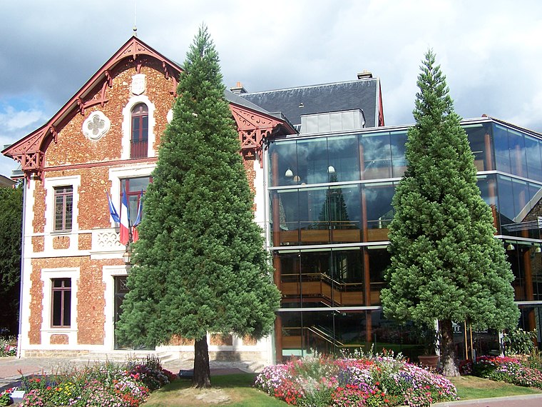
Photo: Henrysalome, CC BY-SA 3.0.
Viroflay is a commune in the Yvelines department in the Île-de-France in north-central France. It is located in the south-western suburbs of Paris 14.1 km from the center and 3 km from the Palace of Versailles.
Ville-d’Avray
Town
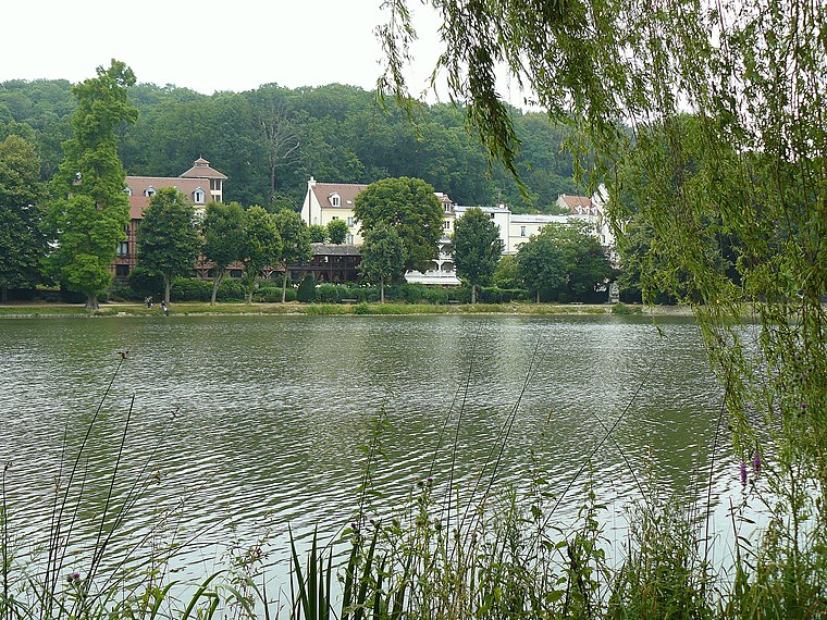
Photo: Wikimedia, Public domain.
Ville-d'Avray is a commune in the western suburbs of Paris, France. It is located 11.9 km from the centre of Paris. The commune is part of the arrondissement of Boulogne-Billancourt in the Hauts-de-Seine department.
Vin de l’Académie
- Type: Vineyard
- Category: agriculture
- Location: Chaville, Arrondissement of Boulogne-Billancourt, Hauts-de-Seine, Île-de-France, France, Europe
- View on OpenStreetMap
Latitude
48.81162° or 48° 48′ 42″ northLongitude
2.1865° or 2° 11′ 11″ eastOpen location code
8FW4R56P+JHOpenStreetMap ID
way 795957174OpenStreetMap feature
landuse=vineyard
This page is based on OpenStreetMap, Wikidata, and Wikimedia Commons.
We’d love your help improving our open data sources. Thank you for contributing.
Satellite Map
Discover Vin de l’Académie from above in high-definition satellite imagery.
Notable Places Nearby
Highlights include maison de l’enfance et de la jeunesse and Place Charles Aznavour.
Nearby Places
Explore places such as Les vignes de Chaville and Gare de Chaville Rive Droite.
Île-de-France: Must-Visit Destinations
Delve into Paris, Versailles, Boulogne-Billancourt, and Paris Charles de Gaulle Airport.
Curious Vineyards to Discover
Uncover intriguing vineyards from every corner of the globe.
About Mapcarta. Data © OpenStreetMap contributors and available under the Open Database License". Text is available under the CC BY-SA 4.0 license, except for photos, directions, and the map. Photo: Clicsouris, CC BY-SA 2.5.