Longsight South Junction
Longsight South Junction is in Manchester, England. Longsight South Junction is situated nearby to the public building Longsight District Office, as well as near United Church Of God.| Tap on a place to explore it |
Places of Interest Nearby
Highlights include National Speedway Stadium and St Peter’s Roman Catholic High School, Manchester.
National Speedway Stadium
Stadium
The National Speedway Stadium is a multi-purpose stadium on Kirkmanshulme Lane, in Gorton, Manchester, England, and is the home of the Belle Vue Aces and Belle Vue Colts speedway teams and the Manchester Titans American football team. National Speedway Stadium is situated 2,200 feet east of Longsight South Junction.
St Peter’s Roman Catholic High School, Manchester
School
St Peter's RC High School is a Roman Catholic High School on Kirkmanshulme Lane in Belle Vue, Manchester, England. St Peter’s Roman Catholic High School, Manchester is situated 1,400 feet east of Longsight South Junction.
Victoria Baths

Photo: BesigedB, Public domain.
Victoria Baths is a Grade II* listed building, in the Chorlton-on-Medlock area of Manchester, England. The baths opened to the public in 1906 and cost £59,144 to build. Victoria Baths is situated 3,900 feet west of Longsight South Junction.
Places in the Area
Nearby places include Longsight and Belle Vue.
Longsight
Suburb
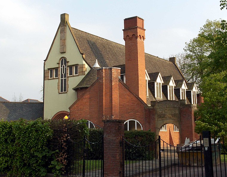
Photo: Stemonitis, CC BY 2.5.
Longsight is an inner city area of Manchester, England, 3 miles south of the city centre, bounded by Ardwick and West Gorton to the north and east; Levenshulme to the south; and Chorlton-on-Medlock, Victoria Park and Fallowfield to the west.
Belle Vue
Suburb

Photo: KGGucwa, CC BY-SA 3.0.
Belle Vue is an area of Manchester, England, sited east of the city centre; it is bordered by the Hope Valley Line to the east and the Glossop line to the west. It is part of the electoral ward of Longsight.
Victoria Park
Quarter
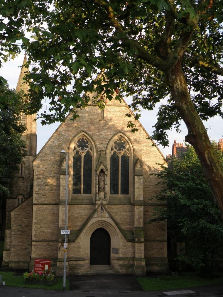
Photo: KGGucwa, CC BY-SA 3.0.
Victoria Park is a suburban area of Manchester, England. Victoria Park lies approximately two miles south of Manchester city centre, between Rusholme and Longsight.
Longsight South Junction
- Type: Railway
- Category: transportation
- Location: Manchester, England, United Kingdom, Britain and Ireland, Europe
- View on OpenStreetMap
Latitude
53.45813° or 53° 27′ 29″ northLongitude
-2.19868° or 2° 11′ 55″ westOpen location code
9C5VFR52+7GOpenStreetMap ID
way 808039096OpenStreetMap feature
landuse=railway
This page is based on OpenStreetMap, Wikidata, and Wikimedia Commons.
We’d love your help improving our open data sources. Thank you for contributing.
Satellite Map
Discover Longsight South Junction from above in high-definition satellite imagery.
Notable Places Nearby
Highlights include Longsight District Office and United Church Of God.
Nearby Places
Explore places such as Asda and Stanley Grove/Asda.
Manchester: Must-Visit Destinations
Delve into Manchester Airport, Victoria-Shopping District, Piccadilly-East Centre, and Castlefield-Petersfield.
Curious Places to Discover
Uncover intriguing places from every corner of the globe.
About Mapcarta. Data © OpenStreetMap contributors and available under the Open Database License". Text is available under the CC BY-SA 4.0 license, except for photos, directions, and the map. Photo: David Dixon, CC BY-SA 2.0.