Européen I
Européen I is a building in Bobigny, Seine-Saint-Denis, Île-de-France. Européen I is situated nearby to the public building Pôle Administratif l’Européen, as well as near the park Mail Jean Rostand.| Tap on a place to explore it |
Places of Interest Nearby
Highlights include Bobigny–Pablo Picasso station and Hôtel de Ville, Bobigny.
Bobigny–Pablo Picasso station
Metro station

Photo: Chabe01, CC BY-SA 4.0.
Bobigny–Pablo Picasso is the northern terminus of Line 5 of the Paris Métro, as well as a stop on Île-de-France tramway Line 1. Also, it will be a station on Paris Metro Line 15 in the future. Bobigny–Pablo Picasso station is situated 370 metres southwest of Européen I.
Hôtel de Ville, Bobigny
Town hall

Photo: Chabe01, CC BY-SA 4.0.
The Hôtel de Ville is a municipal building in Bobigny, Seine-Saint-Denis in the northeastern suburbs of Paris, standing on Avenue du Président Salvador Allende. Hôtel de Ville, Bobigny is situated 650 metres southwest of Européen I.
Cimetière communal de Bobigny
Cemetery

Photo: Celette, CC BY-SA 4.0.
Cimetière communal de Bobigny is a cemetery, which is situated 440 metres west of Européen I.
Places in the Area
Nearby places include Drancy and Noisy-le-Sec.
Drancy
Town

Photo: Chabe01, CC BY-SA 4.0.
Drancy is a commune in the northeastern suburbs of Paris in the Seine-Saint-Denis department in northern France. It is located 10.8 km from the center of Paris.
Noisy-le-Sec
Town
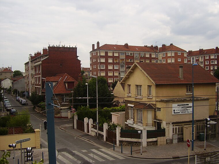
Photo: Sticreu, CC BY-SA 3.0.
Noisy-le-Sec is a commune in the eastern suburbs of Paris, France. It is located 8.6 km from the center of Paris.
Bondy
Town

Photo: Chabe01, CC BY-SA 4.0.
Bondy is a commune in the northeastern suburbs of Paris, France. It is located 10.9 km from the centre of Paris, in the Seine-Saint-Denis department.
Européen I
- Type: Building
- Location: Bobigny, Arrondissement of Bobigny, Seine-Saint-Denis, Île-de-France, France, Europe
- View on OpenStreetMap
Latitude
48.90856° or 48° 54′ 31″ northLongitude
2.45303° or 2° 27′ 11″ eastOpen location code
8FW4WF53+C6OpenStreetMap ID
way 81284331OpenStreetMap feature
building=yes
This page is based on OpenStreetMap, Wikidata, and Wikimedia Commons.
We’d love your help improving our open data sources. Thank you for contributing.
Satellite Map
Discover Européen I from above in high-definition satellite imagery.
Notable Places Nearby
Highlights include Pôle Administratif l’Européen and Caisse Primaire d’Assurance Maladie.
Nearby Places
Explore places such as Jean Rostand and Jean Rostand.
Île-de-France: Must-Visit Destinations
Delve into Paris, Versailles, Boulogne-Billancourt, and Paris Charles de Gaulle Airport.
Curious Buildings to Discover
Uncover intriguing buildings from every corner of the globe.
About Mapcarta. Data © OpenStreetMap contributors and available under the Open Database License". Text is available under the CC BY-SA 4.0 license, except for photos, directions, and the map. Photo: Missiongare, CC BY-SA 3.0.