Direction territoriale de la sécurité de proximité 93
Direction territoriale de la sécurité de proximité 93 is a police station in Bobigny, Seine-Saint-Denis, Île-de-France. Direction territoriale de la sécurité de proximité 93 is situated nearby to the park Square Boughera El Ouafi, as well as near the school Lycée polyvalent André Sabatier.| Tap on a place to explore it |
Places of Interest Nearby
Highlights include Bobigny station and Avicenne Hospital.
Bobigny station
Railway station

Photo: Chabe01, CC BY-SA 4.0.
Bobigny station is a railway station in the French commune of Bobigny in the département of Seine-Saint-Denis, France. Closed to passenger traffic from 1939, it was used as a departure point for people being transported from Drancy internment camp to Auschwitz concentration camp in Poland. Bobigny station is situated 470 metres north of Direction territoriale de la sécurité de proximité 93.
Avicenne Hospital
Hospital

Photo: Chabe01, CC BY-SA 4.0.
Avicenne Hospital is Muslim community founded district general hospital in Bobigny, Seine-Saint-Denis, in the northern suburbs of Paris. Opened in 1935 as the Franco-Muslim Hospital, it was built specifically to cater for North-African immigrants who had flocked to the Paris area. Avicenne Hospital is situated 1 km northwest of Direction territoriale de la sécurité de proximité 93.
MC93 Bobigny
Theater building
The Culture House of Seine-Saint-Denis in Bobigny, more commonly known as MC93 Bobigny, is an important performance venue in the Paris region. Its main activity is focused on the creation and presentation of French and international theatre performances, as well as dance, opera, and music. MC93 Bobigny is situated 780 metres east of Direction territoriale de la sécurité de proximité 93.
Places in the Area
Nearby places include Drancy and Romainville.
Drancy
Town

Photo: Chabe01, CC BY-SA 4.0.
Drancy is a commune in the northeastern suburbs of Paris in the Seine-Saint-Denis department in northern France. It is located 10.8 km from the center of Paris.
Romainville
Town

Photo: Chabe01, CC BY-SA 4.0.
Romainville is a commune in the Seine-Saint-Denis department, located in the eastern suburbs of Paris, France.
Noisy-le-Sec
Town
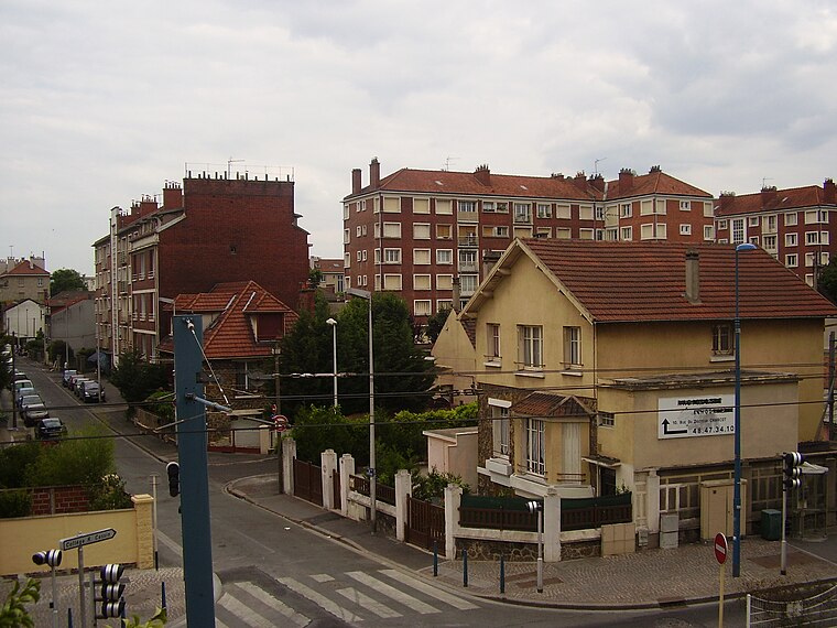
Photo: Sticreu, CC BY-SA 3.0.
Noisy-le-Sec is a commune in the eastern suburbs of Paris, France. It is located 8.6 km from the center of Paris.
Direction territoriale de la sécurité de proximité 93
- Type: Police station
- Address: 93, Bobigny, 93000
- Category: building
- Location: Bobigny, Arrondissement of Bobigny, Seine-Saint-Denis, Île-de-France, France, Europe
- View on OpenStreetMap
Latitude
48.90622° or 48° 54′ 22″ northLongitude
2.43119° or 2° 25′ 52″ eastOpen location code
8FW4WC4J+FFOpenStreetMap ID
way 81285732OpenStreetMap feature
amenity=policeOpenStreetMap feature
building=yes
This page is based on OpenStreetMap, Wikidata, and Wikimedia Commons.
We’d love your help improving our open data sources. Thank you for contributing.
Satellite Map
Discover Direction territoriale de la sécurité de proximité 93 from above in high-definition satellite imagery.
Notable Places Nearby
Highlights include Square Boughera El Ouafi and Lycée polyvalent André Sabatier.
Nearby Places
Explore places such as Rue de la Gare and Le Relais 75.
Île-de-France: Must-Visit Destinations
Delve into Paris, Versailles, Boulogne-Billancourt, and Paris Charles de Gaulle Airport.
Curious Police Stations to Discover
Uncover intriguing police stations from every corner of the globe.
About Mapcarta. Data © OpenStreetMap contributors and available under the Open Database License". Text is available under the CC BY-SA 4.0 license, except for photos, directions, and the map. Photo: Missiongare, CC BY-SA 3.0.