SparkOH! - Terrasse Silo
SparkOH! - Terrasse Silo is a recreation area in Frameries, Arrondissement of Mons, Wallonia. SparkOH! - Terrasse Silo is situated nearby to the community center Le Silo, as well as near SparkOH! Salles du Grand et du Petit Garage.| Tap on a place to explore it |
Places of Interest Nearby
Highlights include Mont Ostène and Frameries Communal Cemetery, Commonwealth Plot.

Frameries Communal Cemetery, Commonwealth Plot
Cemetery

Photo: Wernervc, CC BY-SA 3.0.
Frameries Communal Cemetery, Commonwealth Plot is situated 780 metres south of SparkOH! - Terrasse Silo.
Coal mines in Frameries
Memorial

Photo: Jean-Pol GRANDMONT, CC BY-SA 3.0.
Coal mines in Frameries is a memorial, which is situated 1¼ km south of SparkOH! - Terrasse Silo.
Places in the Area
Nearby places include Frameries and Flénu.
Frameries
Town

Photo: Jean-Pol GRANDMONT, CC BY 2.0.
Frameries is a municipality of Wallonia located in the province of Hainaut, Belgium. The municipality consists of the following districts: Eugies, Frameries, La Bouverie, Noirchain, and Sars-la-Bruyère.
Flénu
Village
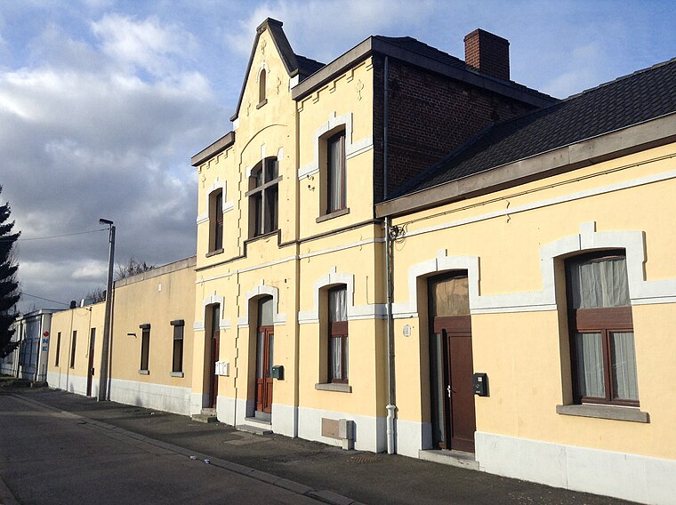
Photo: Anandali, CC BY-SA 3.0.
Flénu is a sub-municipality of the city of Mons located in the province of Hainaut, Wallonia, Belgium. The municipality of Flénu was formed on 8 June 1870, when it was detached from the municipality of Jemappes.

SparkOH! - Terrasse Silo
- Type: Recreation area
- Categories: tourist attraction and tourism
- Location: Frameries, Arrondissement of Mons, Hainaut, Wallonia, Belgium, Benelux, Europe
- View on OpenStreetMap
Latitude
50.41977° or 50° 25′ 11″ northLongitude
3.90309° or 3° 54′ 11″ eastOperator
SparkOH!Open location code
9F25CW93+W6OpenStreetMap ID
way 813192899OpenStreetMap feature
leisure=outdoor_seating
This page is based on OpenStreetMap, Wikidata, and Wikimedia Commons.
We’d love your help improving our open data sources. Thank you for contributing.
Satellite Map
Discover SparkOH! - Terrasse Silo from above in high-definition satellite imagery.
Notable Places Nearby
Highlights include Le Silo and SparkOH! Salles du Grand et du Petit Garage.
Nearby Places
Explore places such as SparkOH! - Bureaux Administratifs and Frameries Crachet.
Hainaut: Must-Visit Destinations
Delve into Charleroi, Mons, Tournai, and La Louvière.
Curious Recreation Areas to Discover
Uncover intriguing recreation areas from every corner of the globe.
About Mapcarta. Data © OpenStreetMap contributors and available under the Open Database License". Text is available under the CC BY-SA 4.0 license, except for photos, directions, and the map. Photo: Jean-Pol GRANDMONT, CC BY-SA 3.0.