St Margaret’s Church
St Margaret’s Church is a church in Cwmamman, Carmarthenshire, Wales. St Margaret’s Church is situated nearby to Amman Valley Hospital, as well as near the industrial building Amman Valley MakerSpace.| Tap on a place to explore it |
Places of Interest Nearby
Highlights include Amman Valley Hospital and Old Bethel Chapel.
Amman Valley Hospital
Hospital

Photo: Sionk, CC BY-SA 4.0.
Amman Valley Hospital is a community hospital in Ammanford, Wales. It is managed by the Hywel Dda University Health Board.
Old Bethel Chapel
Church

Photo: Marion Phillips, CC BY-SA 2.0.
Old Bethel Chapel is a church, which is situated 2,900 feet northeast of St Margaret’s Church.
Tair Carn Uchaf
Peak

Photo: Nigel Davies, CC BY-SA 2.0.
Tair Carn Uchaf is a hill in the Brecon Beacons National Park in the county of Carmarthenshire, Wales. Its summit sits atop a plateau-like ridge at 482 metres above sea level and is marked by one of the three huge cairns which give the mountain its name. Tair Carn Uchaf is situated 2 miles north of St Margaret’s Church.
Places in the Area
Nearby places include Glanamman and Garnant.
Glanamman
Village
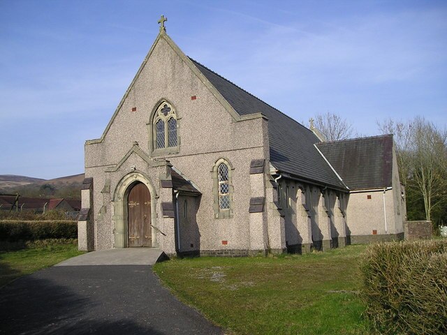
Photo: Marion Phillips, CC BY-SA 2.0.
Glanamman is a mining village in the valley of the River Amman in Carmarthenshire, Wales. Glanamman has long been a stronghold of the Welsh language; village life is largely conducted in Welsh.
Garnant
Village

Photo: Richard Webb, CC BY-SA 2.0.
Garnant is a mining village in the valley of the River Amman in Carmarthenshire, Wales, north of Swansea. Like the neighbouring village of Glanamman it experienced a coal-mining boom in the 19th and early 20th centuries, but the last big colliery closed in 1936 and coal has been extracted fitfully since then.
Lower Brynamman
Suburb
Lower Brynamman is an electoral ward of Neath Port Talbot county borough in Brynamman, Wales. Lower Brynamman is situated 2 miles east of St Margaret’s Church.
St Margaret’s Church
- Type: Church
- Categories: building and religion
- Location: Cwmamman, Carmarthenshire, South Wales, Wales, United Kingdom, Britain and Ireland, Europe
- View on OpenStreetMap
Latitude
51.80828° or 51° 48′ 30″ northLongitude
-3.92476° or 3° 55′ 29″ westOpen location code
9C3RR35G+83OpenStreetMap ID
way 813961616OpenStreetMap feature
building=church
This page is based on OpenStreetMap, Wikidata, and Wikimedia Commons.
We’d love your help improving our open data sources. Thank you for contributing.
Satellite Map
Discover St Margaret’s Church from above in high-definition satellite imagery.
Places with the Same Name
Discover other places named “St Margaret’s Church”.
Notable Places Nearby
Highlights include Amman Valley MakerSpace and Youth Resource Center.
Nearby Places
Explore places such as Caffi y Sgwar and Glanamman Workshops Substation.
Carmarthenshire: Must-Visit Destinations
Delve into Carmarthen, Llanelli, Ammanford, and Llandovery.
Curious Churches to Discover
Uncover intriguing churches from every corner of the globe.
About Mapcarta. Data © OpenStreetMap contributors and available under the Open Database License". Text is available under the CC BY-SA 4.0 license, except for photos, directions, and the map. Photo: Wikimedia, CC0.