Garenne Bechevet
Garenne Bechevet is a building in La Celle-Saint-Cloud, Arrondissement of Versailles, Île-de-France. Garenne Bechevet is situated nearby to the garden Jardin du lavoir des Gressets, as well as near the church Temple de La Celle-Saint-Cloud.| Tap on a place to explore it |
Places of Interest Nearby
Highlights include Gare de Bougival and Gare de La Celle-Saint-Cloud.
Gare de Bougival
Railway station

Photo: Geralix, CC BY-SA 3.0.
Gare de Bougival is a railway station, which is situated 1 km northeast of Garenne Bechevet.
Gare de La Celle-Saint-Cloud
Railway station
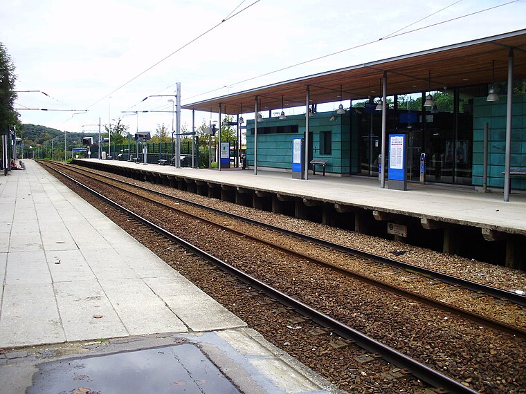
Photo: Geralix, CC BY-SA 3.0.
Gare de La Celle-Saint-Cloud is a railway station, which is situated 1 km southeast of Garenne Bechevet.
Château Louis XIV
Building

Photo: Wolrfam, CC BY-SA 4.0.
Château Louis XIV is a château in France that was constructed between 2008 and 2011. It is located in the commune of Louveciennes in the Yvelines department of the Île-de-France region. Château Louis XIV is situated 460 metres northwest of Garenne Bechevet.
Places in the Area
Nearby places include La Celle-Saint-Cloud and Louveciennes.
La Celle-Saint-Cloud
Town

Photo: Henrysalome, CC BY-SA 3.0.
La Celle-Saint-Cloud is a commune in the Yvelines department in the Île-de-France region in Northern France. It is a western outer suburb of Paris, 15.6 km from its centre, on the departmental border with Hauts-de-Seine. In 2021, it had a population of 20,476.
Louveciennes
Village

Photo: Wikimedia, CC BY-SA 3.0.
Louveciennes is a commune in the Yvelines department in the Île-de-France region in north-central France. It is located in the western suburbs of Paris, between Versailles and Saint-Germain-en-Laye, and adjacent to Marly-le-Roi.
Le Chesnay-Rocquencourt
Town
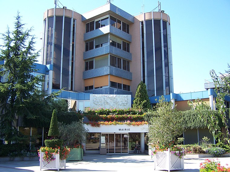
Photo: Henrysalome, CC BY-SA 3.0.
Le Chesnay-Rocquencourt is a commune in the western suburbs of Paris, in the department of Yvelines. It was established on 1 January 2019 from the amalgamation of the communes of Le Chesnay and Rocquencourt.
Garenne Bechevet
- Type: Building
- Location: La Celle-Saint-Cloud, Arrondissement of Versailles, Yvelines, Île-de-France, France, Europe
- View on OpenStreetMap
Latitude
48.84715° or 48° 50′ 50″ northLongitude
2.12533° or 2° 7′ 31″ eastOperator
EnedisOpen location code
8FW4R4WG+V4OpenStreetMap ID
way 814331754OpenStreetMap feature
building=service
This page is based on OpenStreetMap, Wikidata, and Wikimedia Commons.
We’d love your help improving our open data sources. Thank you for contributing.
Satellite Map
Discover Garenne Bechevet from above in high-definition satellite imagery.
Notable Places Nearby
Highlights include Jardin du lavoir des Gressets and Temple de La Celle-Saint-Cloud.
Nearby Places
Explore places such as École élémentaire Jules Ferry and École primaire et élémentaire Jules Ferry.
Île-de-France: Must-Visit Destinations
Delve into Paris, Versailles, Boulogne-Billancourt, and Paris Charles de Gaulle Airport.
Curious Buildings to Discover
Uncover intriguing buildings from every corner of the globe.
About Mapcarta. Data © OpenStreetMap contributors and available under the Open Database License". Text is available under the CC BY-SA 4.0 license, except for photos, directions, and the map. Photo: Inkey, CC BY-SA 3.0.