Sandy Lodge
Sandy Lodge is an apartment building in Islington, Greater London, England which is located on Avenue Road. Sandy Lodge is situated nearby to the sports venue Coolhurst Lawn Tennis & Squash Racquet Club, as well as near the recreation area Channing School Sports Field.| Tap on a place to explore it |
Places of Interest Nearby
Highlights include Ashmount Primary School and Crouch Hill railway station.
Ashmount Primary School
School
The London Borough of Islington is a borough in North London, England. Forming part of Inner London, Islington has an estimated population of 215,667. It was formed in 1965, under the London Government Act 1963, by the amalgamation of the metropolitan boroughs of Islington and Finsbury. Ashmount Primary School is situated 990 feet south of Sandy Lodge.
Crouch Hill railway station
Railway station

Photo: Sunil060902, CC BY-SA 3.0.
Crouch Hill is a station on the Suffragette line of the London Overground, located on Crouch Hill in the London Borough of Islington, north London. It is 3.8 miles from St Pancras and is situated between Upper Holloway and Harringay Green Lanes. Crouch Hill railway station is situated 3,800 feet east of Sandy Lodge.
Christ Church
Church

Photo: John Salmon, CC BY-SA 2.0.
Christ Church is situated 1,600 feet east of Sandy Lodge.
Places in the Area
Nearby places include Crouch End and Archway.
Crouch End
Suburb
 Crouch End is an area of north London, England, five miles from the City of London in the western half of the borough of Haringey. It is within the Hornsey postal district.
Archway
Suburb
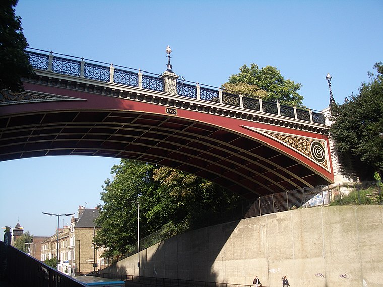
Photo: Wikimedia, CC BY-SA 2.0.
Archway is an area of north London, England, in the London Borough of Islington 3.8 miles north of Charing Cross. It straddles the A1 and is named after a former local landmark, the high, single-arched Archway Bridge which crossed the road to the north.
Highgate
Suburb

Photo: Charlesdrakew, Public domain.
Highgate is a suburban area of north London in the London Boroughs of Camden, Islington and Haringey. The area is at the north-eastern corner of Hampstead Heath, 4.5 miles north-northwest of Charing Cross.
Sandy Lodge
- Type: Apartment building
- Address: Avenue Road
- Categories: building and residential building
- Location: Islington, Greater London, England, United Kingdom, Britain and Ireland, Europe
- View on OpenStreetMap
Latitude
51.57502° or 51° 34′ 30″ northLongitude
-0.13281° or 0° 7′ 58″ westLevels
3Open location code
9C3XHVG8+2VOpenStreetMap ID
way 818527320OpenStreetMap feature
building=apartments
This page is based on OpenStreetMap, Wikidata, and Wikimedia Commons.
We’d love your help improving our open data sources. Thank you for contributing.
Satellite Map
Discover Sandy Lodge from above in high-definition satellite imagery.
Places with the Same Name
Discover other places named “Sandy Lodge”.
Notable Places Nearby
Highlights include Coolhurst Lawn Tennis & Squash Racquet Club and Channing School Sports Field.
Nearby Places
Explore places such as Baronsclere Court and Seymour Court.
England: Must-Visit Destinations
Delve into London, Manchester, Sheffield, and Leeds.
Curious Apartment Buildings to Discover
Uncover intriguing apartment buildings from every corner of the globe.
About Mapcarta. Data © OpenStreetMap contributors and available under the Open Database License". Text is available under the CC BY-SA 4.0 license, except for photos, directions, and the map. Photo: sidibousaid, CC BY 2.0.