Amanaoac Elementary School
Amanaoac Elementary School is a school in Municipality of Santa Barbara, Pangasinan, Ilocos which is located on Lawin Street. Amanaoac Elementary School is situated nearby to the town Mapandan, as well as near Santa Barbara.| Tap on a place to explore it |
Places in the Area
Nearby places include Mapandan and Santa Barbara.
Mapandan
Town
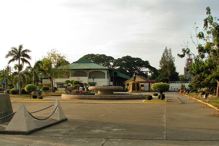
Photo: P199, CC BY-SA 3.0.
Pangasinan is a province in Ilocos Region of in northern Luzon, the chief island of the Philippines. The capital of Pangasinan is Lingayen. Being in a somewhat fertile plain, the area is known for agricultural products like corn crops carabao milk, duhat wine, nipa hut roofings, tuba and other products.
Santa Barbara
Town

Photo: P199, CC BY-SA 3.0.
Pangasinan is a province in Ilocos Region of in northern Luzon, the chief island of the Philippines. The capital of Pangasinan is Lingayen. Being in a somewhat fertile plain, the area is known for agricultural products like corn crops carabao milk, duhat wine, nipa hut roofings, tuba and other products. Santa Barbara is situated 4½ km southwest of Amanaoac Elementary School.
Manaoag

Photo: P199, CC BY-SA 3.0.
Manaoag, officially the Municipality of Manaoag, is a municipality in the province of Pangasinan, Philippines. According to the 2020 census, it has a population of 76,045 people.
Amanaoac Elementary School
- Type: School
- Address: 74 Lawin Street, Mapandan
- Category: education
- Location: Municipality of Santa Barbara, Pangasinan, Ilocos, Luzon, Philippines, Southeast Asia, Asia
- View on OpenStreetMap
Latitude
16.01665° or 16° 0′ 60″ northLongitude
120.4454° or 120° 26′ 43″ eastInception
1948Operator
Mapandan District of Pangasinan I, Lingayen Schools Division, DepEdOpen location code
7Q822C8W+M5OpenStreetMap ID
way 820946951OpenStreetMap feature
amenity=school
This page is based on OpenStreetMap, Wikidata, and Wikimedia Commons.
We’d love your help improving our open data sources. Thank you for contributing.
Satellite Map
Discover Amanaoac Elementary School from above in high-definition satellite imagery.
Notable Places Nearby
Highlights include Saint Joseph the Patriarch Parish and Mapandan Community Hospital.
Nearby Places
Explore places such as Golden Elementary School and 7-Eleven.
Pangasinan: Must-Visit Destinations
Delve into Lingayen, Dagupan, Urdaneta, and Alaminos.
Curious Schools to Discover
Uncover intriguing schools from every corner of the globe.
About Mapcarta. Data © OpenStreetMap contributors and available under the Open Database License". Text is available under the CC BY-SA 4.0 license, except for photos, directions, and the map. Photo: Wikimedia, CC0.