Flamants de Cuba
Flamants de Cuba is an islet in Les Mathes, Arrondissement of Rochefort, Nouvelle-Aquitaine. Flamants de Cuba is situated nearby to the islet Aras, as well as near Saïmiri.| Tap on a place to explore it |
Places of Interest Nearby
Highlights include La Palmyre Zoo and Villa Le Sextant.
La Palmyre Zoo
Zoo

Photo: Piso17, CC BY-SA 3.0.
La Palmyre Zoo is a zoo in Les Mathes, Charente-Maritime, near Royan, in southwestern France. It was created in 1966 in the forest of la Coubre by Claude Caillé. La Palmyre Zoo is situated 170 metres north of Flamants de Cuba.
Villa Le Sextant
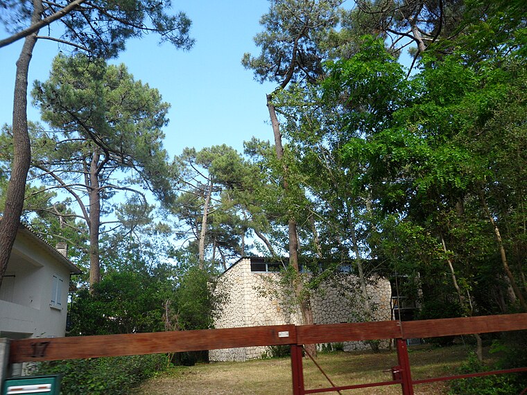
Photo: Dimimis, CC BY-SA 3.0.
Villa Le Sextant is situated 1 km west of Flamants de Cuba.
Église Notre-Dame de La Palmyre
Church

Photo: Dimimis, CC BY-SA 3.0.
Église Notre-Dame de La Palmyre is a church, which is situated 1 km northwest of Flamants de Cuba.
Places in the Area
Nearby places include Les Mathes and Pointe de la Coubre.
Les Mathes
Village

Photo: Dimimis, CC BY-SA 3.0.
Les Mathes is a commune in the Charente-Maritime department and Nouvelle-Aquitaine region in southwestern France. The commune includes the beach resort La Palmyre, and the Palmyre Zoo. Les Mathes is situated 4 km northeast of Flamants de Cuba.
Pointe de la Coubre
Locality

Photo: Dimimis, CC BY-SA 3.0.
Pointe de la Coubre is a locality, which is situated 4 km southwest of Flamants de Cuba.
Arvert
Village

Photo: Cobber17, CC BY-SA 4.0.
Arvert is a commune in the Charente-Maritime department and Nouvelle-Aquitaine region of south-western France. The inhabitants of the commune are known as Alvertons or Alvertonnes. Arvert is situated 7 km northeast of Flamants de Cuba.
Flamants de Cuba
- Type: Islet
- Categories: tourist attraction, grassland, locality, and landform
- Location: Les Mathes, Arrondissement of Rochefort, Charente-Maritime, Nouvelle-Aquitaine, France, Europe
- View on OpenStreetMap
Latitude
45.68572° or 45° 41′ 9″ northLongitude
-1.16643° or 1° 9′ 59″ westOpen location code
8CQWMRPM+7COpenStreetMap ID
way 82115712OpenStreetMap feature
attraction=animalOpenStreetMap feature
natural=grasslandOpenStreetMap feature
place=islet
This page is based on OpenStreetMap, Wikidata, and Wikimedia Commons.
We’d love your help improving our open data sources. Thank you for contributing.
Satellite Map
Discover Flamants de Cuba from above in high-definition satellite imagery.
Places with the Same Name
Discover other places named “Flamants de Cuba”.
Notable Places Nearby
Highlights include Saïmiri and Aras.
Nearby Places
Explore places such as Palmyre Zoo and Palmyre Zoo.
Charente-Maritime: Must-Visit Destinations
Delve into La Rochelle, Royan, Saintes, and La Tremblade.
Curious Islets to Discover
Uncover intriguing islets from every corner of the globe.
About Mapcarta. Data © OpenStreetMap contributors and available under the Open Database License". Text is available under the CC BY-SA 4.0 license, except for photos, directions, and the map. Photo: Jpbazard, CC BY-SA 3.0.