Sternbuschbad
Sternbuschbad is a sports venue in Kleve, Düsseldorf, North Rhine-Westphalia. Sternbuschbad is situated nearby to the sports venue Sporthalle, as well as near the church St. Antonius.| Tap on a place to explore it |
Places of Interest Nearby
Highlights include Kermisdahl and Stiftskirche.

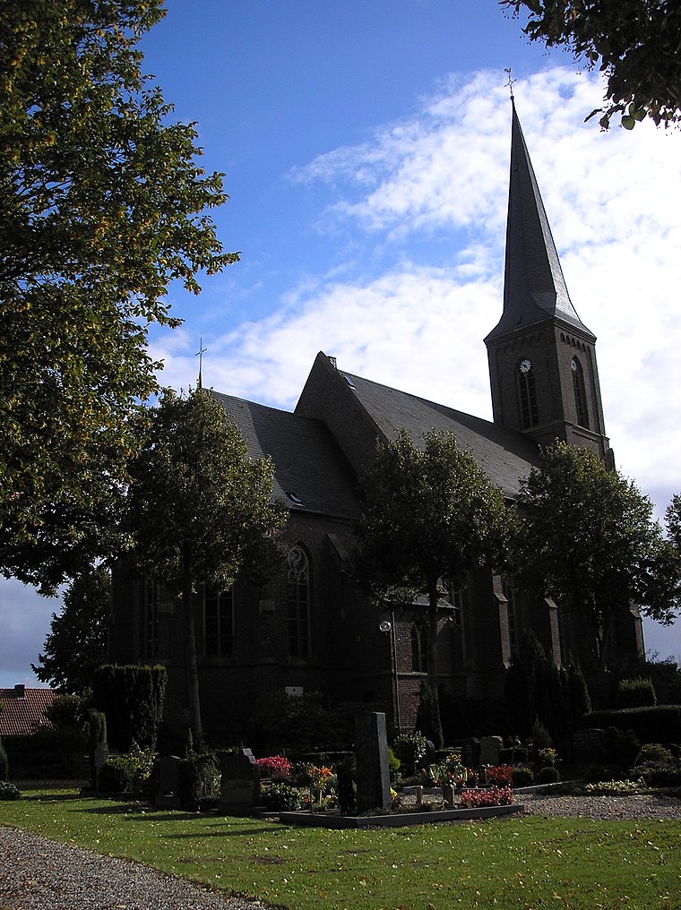
Stiftskirche
Church

Photo: Alexostrov, CC BY-SA 3.0.
Stiftskirche is a church, which is situated 2 km northwest of Sternbuschbad.
Old Catholic parish church of St. Anthony Abbas
Church
 Old Catholic parish church of St. Anthony Abbas is situated 1½ km southeast of Sternbuschbad.
Places in the Area
Nearby places include Qualburg and Schneppenbaum.
Schneppenbaum
Village

Photo: MiraculixHB, Public domain.
Schneppenbaum is a village, which is situated 3½ km east of Sternbuschbad.
Rindern
Village
Rindern is a village in the Kleve of Lower Rhine region of Germany. It is part of the town Kleve. Rindern is situated 4½ km north of Sternbuschbad.
Sternbuschbad
- Type: Sports venue
- Categories: swimming, recreation area, and sports location
- Location: Kleve, Kleve, Düsseldorf, Lower Rhine, North Rhine-Westphalia, Germany, Central Europe, Europe
- View on OpenStreetMap
Latitude
51.77026° or 51° 46′ 13″ northLongitude
6.15041° or 6° 9′ 2″ eastOpen location code
9F38Q5C2+45OpenStreetMap ID
way 822263036OpenStreetMap feature
leisure=sports_centreOpenStreetMap feature
sport=swimming
This page is based on OpenStreetMap, Wikidata, and Wikimedia Commons.
We’d love your help improving our open data sources. Thank you for contributing.
Satellite Map
Discover Sternbuschbad from above in high-definition satellite imagery.
Notable Places Nearby
Highlights include Sternbuschbad and Sporthalle.
Nearby Places
Explore places such as Sternbuschbad and Wanderparkplatz.
Lower Rhine: Must-Visit Destinations
Delve into Düsseldorf, Mönchengladbach, Krefeld, and Neuss.
Curious Sports Venues to Discover
Uncover intriguing sports venues from every corner of the globe.
About Mapcarta. Data © OpenStreetMap contributors and available under the Open Database License". Text is available under the CC BY-SA 4.0 license, except for photos, directions, and the map. Photo: Orange2000, CC BY-SA 4.0.