Cementerio de Lamay
Cementerio de Lamay is a cemetery in Lamay District, Calca Province, Cuzco Department. Cementerio de Lamay is situated nearby to the church Centro Pastoral “San Vicente de Paul”, as well as near the swimming pool Piscina municipal de Lamay.| Tap on a place to explore it |
Places of Interest Nearby
Highlights include Huchuy Qosqo.
Huchuy Qosqo
Archaeological site

Photo: Stevage, CC BY-SA 3.0.
Huchuy Qosqo, is an Incan archaeological site north of Cuzco, Peru. Its name is Quechua for "Little Cuzco." It lies at an elevation of 3,650 meters, overlooking the Sacred Valley and 3 kilometres west and above the town of Lamay at an elevation of 2,920 metres. Huchuy Qosqo is situated 2½ km west of Cementerio de Lamay.
Places in the Area
Nearby places include Calca and Taray.
Calca
Town
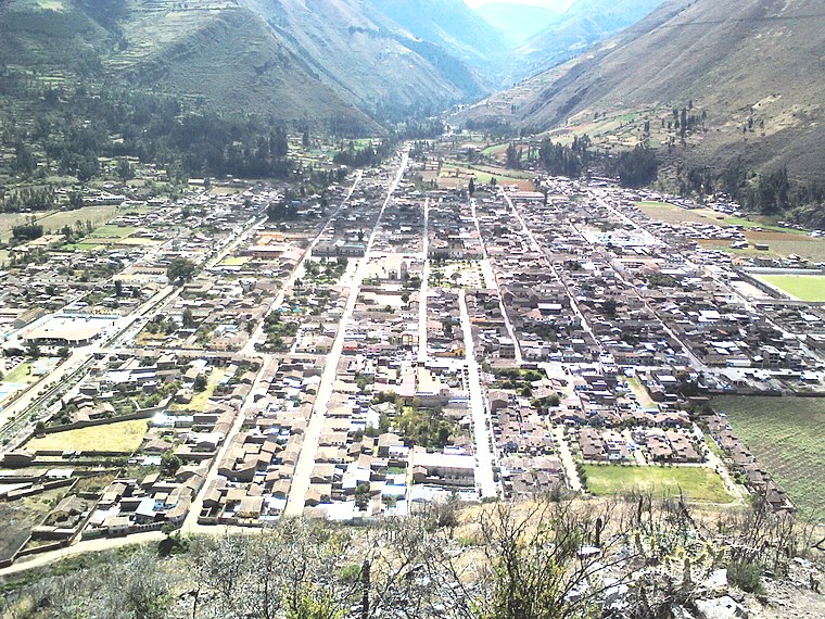
Photo: Miguel taipe, CC BY-SA 4.0.
Calca, also referred to as Villa de Zamora, is a town in southern Peru, capital of Calca Province in Cusco Region. It is at an elevation of around 2926 meters above sea level. Calca is situated 6 km northwest of Cementerio de Lamay.

Cementerio de Lamay
- Type: Cemetery
- Category: burial
- Location: Lamay District, Calca Province, Cuzco Department, Peru, South America
- View on OpenStreetMap
Latitude
-13.36171° or 13° 21′ 42″ southLongitude
-71.92145° or 71° 55′ 17″ westOpen location code
57RCJ3QH+8COpenStreetMap ID
way 822355905OpenStreetMap feature
landuse=cemetery
This page is based on OpenStreetMap, Wikidata, and Wikimedia Commons.
We’d love your help improving our open data sources. Thank you for contributing.
Satellite Map
Discover Cementerio de Lamay from above in high-definition satellite imagery.
Notable Places Nearby
Highlights include Centro Pastoral “San Vicente de Paul” and Piscina municipal de Lamay.
Nearby Places
Explore places such as Institución Educativa 50160 San Luis Gonzaga and Institución educativa inicial 660 Virgen De Fatima.
Peru: Must-Visit Destinations
Delve into Lima, Machu Picchu, Cuzco, and Arequipa.
Curious Cemeteries to Discover
Uncover intriguing cemeteries from every corner of the globe.
About Mapcarta. Data © OpenStreetMap contributors and available under the Open Database License". Text is available under the CC BY-SA 4.0 license, except for photos, directions, and the map. Photo: Wikimedia, CC BY 3.0.