T26 Ulička
T26 Ulička is a building in Brno, South Moravia. T26 Ulička is situated nearby to the town hall Brno-Kohoutovice, as well as near the church Chapel of the Holy Family (Brno).| Tap on a place to explore it |
Places of Interest Nearby
Highlights include Brno-Kohoutovice and Chapel of the Holy Family (Brno).
Brno-Kohoutovice
Town hall

Photo: Kirk, Public domain.
Brno-Kohoutovice is a city district of Brno, Czech Republic, located in the western part of the city. It consists of almost the entire cadastral territory of Kohoutovice, the western part of Pisárky and a small southern part of Jundrov.
Chapel of the Holy Family (Brno)
Church

Photo: Podzemnik, CC BY-SA 4.0.
Chapel of the Holy Family (Brno) is a church.
svatý Jan Nepomucký
Church

Photo: Podzemnik, CC BY-SA 3.0.
svatý Jan Nepomucký is a church, which is situated 1¼ km east of T26 Ulička.
Places in the Area
Nearby places include Kohoutovice and Brno-Bosonohy.
Kohoutovice
Suburb

Photo: Packa, CC BY-SA 3.0.
Kohoutovice is a municipal part and cadastral territory in the west of the center of Brno, Czech Republic. It has an area of 2.38 km2. Originally an independent municipality, it was annexed to Brno in 1919, since November 24, 1990 it has been part of the city district of Brno-Kohoutovice.
Brno-Bosonohy
Suburb
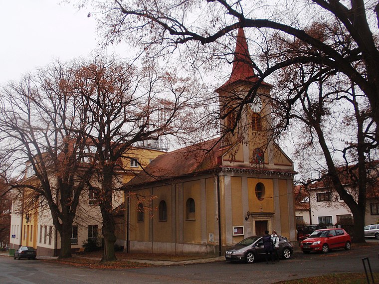
Photo: Isolda11, CC BY-SA 3.0.
Brno-Bosonohy is a city district in the southwest of the city of Brno, Czech Republic. It consists of the municipal part and cadastral territory of Bosonohy and a small part of neighbouring Kohoutovice.
Brno-Jundrov
Suburb
 Brno-Jundrov is a city district of Brno, Czech Republic, located in the western part of the city. It consists of most of the cadastral territory of Jundrov and a small northwestern part of the cadastral territory of Pisárky.
T26 Ulička
- Type: Building
- Location: Brno, Brno-City District, South Moravia, Czech Republic, Central Europe, Europe
- View on OpenStreetMap
Latitude
49.19322° or 49° 11′ 36″ northLongitude
16.53623° or 16° 32′ 10″ eastOperator
EG.DOpen location code
8FXR5GVP+7FOpenStreetMap ID
way 82462785OpenStreetMap feature
building=service
This page is based on OpenStreetMap, Wikidata, and Wikimedia Commons.
We’d love your help improving our open data sources. Thank you for contributing.
Satellite Map
Discover T26 Ulička from above in high-definition satellite imagery.
Notable Places Nearby
Highlights include YELLOW FISH Billiard club & coctail bar and Lipsko.
Nearby Places
Explore places such as Masáže Maděra and Žebětínská.
South Moravia: Must-Visit Destinations
Delve into Brno, Zlín, Znojmo, and Kroměříž.
Curious Buildings to Discover
Uncover intriguing buildings from every corner of the globe.
About Mapcarta. Data © OpenStreetMap contributors and available under the Open Database License". Text is available under the CC BY-SA 4.0 license, except for photos, directions, and the map. Photo: Marzper, CC BY-SA 3.0.