Arrache 8083
Arrache 8083 is a power station in Los Angeles, Southern California, California. Arrache 8083 is situated nearby to the power station Arrache 4013, as well as near the aerodrome LA/Palmdale Regional Airport.| Tap on a place to explore it |
Places of Interest Nearby
Highlights include LA/Palmdale Regional Airport and United States Air Force Plant 42.
LA/Palmdale Regional Airport
Aerodrome
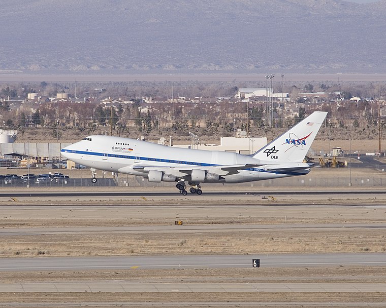
Photo: NASA, Public domain.
Palmdale Regional Airport is an airport in Palmdale, California, United States. The city of Palmdale took over the airport at the end of 2013, managing it via the Palmdale Airport Authority. LA/Palmdale Regional Airport is situated 2 miles southwest of Arrache 8083.
United States Air Force Plant 42
Military installation
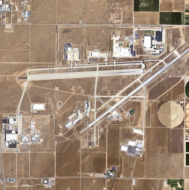
Photo: USGS, Public domain.
United States Air Force Plant 42 is a classified aircraft manufacturing plant owned by the United States Air Force in the Antelope Valley, about 60 miles from downtown Los Angeles. United States Air Force Plant 42 is situated 2 miles southwest of Arrache 8083.
Eastside High School
School
Eastside High School is located in Lancaster, California, and is part of the Antelope Valley Union High School District. Eastside is the 8th and newest school in the district. Eastside High School is situated 2½ miles north of Arrache 8083.
Places in the Area
Nearby places include Lancaster and Palmdale.
Lancaster

Photo: Wikimedia, CC BY-SA 2.0.
Lancaster is a city in far northern Los Angeles County in Southern California, 8 miles from the Kern County line.
Palmdale

Photo: Wrk3, CC BY-SA 3.0.
Palmdale is a city in the far north of Los Angeles County in the Antelope Valley region of the Mojave Desert in Southern California.
Arrache 8083
- Type: Power station
- Category: industry
- Location: Los Angeles, Southern California, California, United States, North America
- View on OpenStreetMap
Latitude
34.64788° or 34° 38′ 52″ northLongitude
-118.06103° or 118° 3′ 40″ westInception
September 2013Operator
CD US Solar MT 2 LLCOpen location code
8563JWXQ+5HOpenStreetMap ID
way 824750181
This page is based on OpenStreetMap, Wikidata, and Wikimedia Commons.
We’d love your help improving our open data sources. Thank you for contributing.
Satellite Map
Discover Arrache 8083 from above in high-definition satellite imagery.
Notable Places Nearby
Highlights include Arrache 4013 and Arrache 4006.
Nearby Places
Explore places such as Enterprise Elementary School and Building 703.
Los Angeles: Must-Visit Destinations
Delve into Hollywood, San Gabriel Valley, San Fernando Valley, and Long Beach.
Curious Power Stations to Discover
Uncover intriguing power stations from every corner of the globe.
About Mapcarta. Data © OpenStreetMap contributors and available under the Open Database License". Text is available under the CC BY-SA 4.0 license, except for photos, directions, and the map. Photo: Mfield, CC BY-SA 3.0.