Campo Sportivo Comunale
Campo Sportivo Comunale is a stadium in Umbertide, Province of Perugia, Umbria. Campo Sportivo Comunale is situated nearby to the sports venue Palazzetto dello Sport, as well as near the swimming pool Piscine Comunali.| Tap on a place to explore it |
Places of Interest Nearby
Highlights include Santa Croce and Montecorona railway station.
Santa Croce
Museum

Photo: Francescozauri, CC BY-SA 3.0.
Santa Croce is a museum, which is situated 1½ km west of Campo Sportivo Comunale.
Montecorona railway station
Railway station
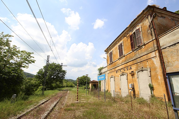
Photo: LigaDue, CC BY-SA 4.0.
Montecorona railway station is situated 2 km southeast of Campo Sportivo Comunale.
Santa Maria della Reggia
Church

Photo: Cantalamessa, CC BY-SA 3.0.
Santa Maria della Reggia is a church, which is situated 1½ km northwest of Campo Sportivo Comunale.
Places in the Area
Nearby places include Pierantonio and Galera Airfield.
Pierantonio
Village

Photo: Wikimedia, Public domain.
Pierantonio is a village, which is situated 5 km southeast of Campo Sportivo Comunale.
Galera Airfield
Locality
Galera Airfield is an abandoned military airfield in the Lazio region of central Italy near western Rome. The strip was laid down with PLS 130 x 6000 with 4-parking areas with the alignment of 69° - 45°. Galera Airfield is situated 6 km southwest of Campo Sportivo Comunale.
Montecastelli
Village

Photo: LigaDue, CC BY-SA 4.0.
Montecastelli is a village, which is situated 6 km northwest of Campo Sportivo Comunale.
Campo Sportivo Comunale
- Type: Stadium
- Categories: recreation area, tourist attraction, and tourism
- Location: Umbertide, Province of Perugia, Umbria, Central Italy, Italy, Europe
- View on OpenStreetMap
Latitude
43.29995° or 43° 17′ 60″ northLongitude
12.34557° or 12° 20′ 44″ eastOpen location code
8FMJ78XW+X6OpenStreetMap ID
way 83336715OpenStreetMap feature
leisure=stadium
This page is based on OpenStreetMap, Wikidata, and Wikimedia Commons.
We’d love your help improving our open data sources. Thank you for contributing.
Satellite Map
Discover Campo Sportivo Comunale from above in high-definition satellite imagery.
Places with the Same Name
Discover other places named “Campo Sportivo Comunale”.
Notable Places Nearby
Highlights include Piscine Comunali and Palazzetto dello Sport.
Nearby Places
Explore places such as La Bottega delle Erbe and Alibù.
Umbria: Must-Visit Destinations
Delve into Perugia, Terni, Assisi, and Orvieto.
Curious Stadiums to Discover
Uncover intriguing stadiums from every corner of the globe.
About Mapcarta. Data © OpenStreetMap contributors and available under the Open Database License". Text is available under the CC BY-SA 4.0 license, except for photos, directions, and the map. Photo: Inkey, CC BY 3.0.