Moggerhanger Village Hall
Moggerhanger Village Hall is a community center in Mogerhanger, Central Bedfordshire, England which is located on Blunham Road. Moggerhanger Village Hall is situated nearby to Parish Church of St John the Evangelist, as well as near Manor Farmhouse.| Tap on a place to explore it |
Places of Interest Nearby
Highlights include Parish Church of St John the Evangelist and Parish Church of St Edmund or St James, Blunham.
Parish Church of St John the Evangelist
Church

Photo: John Salmon, CC BY-SA 2.0.
Parish Church of St John the Evangelist is situated 1,400 feet southwest of Moggerhanger Village Hall.
Parish Church of St Edmund or St James, Blunham
Church

Photo: Ben Harris, CC BY-SA 2.0.
Parish Church of St Edmund or St James, Blunham is situated 1 mile northeast of Moggerhanger Village Hall.
Sandy railway station
Railway station
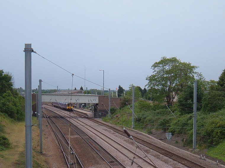 Sandy railway station serves the town of Sandy in Bedfordshire, England. It is on the East Coast Main Line, about 44 miles from London King's Cross. Sandy is managed by Great Northern but all train services are operated by Thameslink. Sandy railway station is situated 2 miles east of Moggerhanger Village Hall.
Places in the Area
Nearby places include Moggerhanger and Blunham.
Moggerhanger
Village

Photo: Jeff Tomlinson, CC BY-SA 2.0.
Moggerhanger is a village in the English county of Bedfordshire. It is west of Sandy on the road to Bedford. Its population in 2001 was 636, but had reduced to 620 at the 2011 Census.
Blunham
Village

Photo: My another account, CC0.
Blunham is a village and civil parish in the Central Bedfordshire district of Bedfordshire, England, about 6 miles east of Bedford town centre. At the 2011 census date its population was 946.
Budna
Hamlet
Budna is a hamlet in the civil parish of Northill, in Bedfordshire, England. Budna is located to the north of the village of Northill, and near to Thorncote Green and Hatch. Budna lies on the border between Central Bedfordshire and the Borough of Bedford.
Moggerhanger Village Hall
- Type: Community center
- Address: Blunham Road
- Categories: building and public building
- Location: Mogerhanger, Central Bedfordshire, England, United Kingdom, Britain and Ireland, Europe
- View on OpenStreetMap
Latitude
52.13371° or 52° 8′ 1″ northLongitude
-0.3294° or 0° 19′ 46″ westOpen location code
9C4X4MMC+F6OpenStreetMap ID
way 836743662OpenStreetMap feature
amenity=community_centreOpenStreetMap feature
building=public
This page is based on OpenStreetMap, Wikidata, and Wikimedia Commons.
We’d love your help improving our open data sources. Thank you for contributing.
Satellite Map
Discover Moggerhanger Village Hall from above in high-definition satellite imagery.
Notable Places Nearby
Highlights include Manor Farmhouse and Sandy Airfield.
Nearby Places
Explore places such as Moggerhanger Lower School and Moggerhanger Meeting Place & Shop.
England: Must-Visit Destinations
Delve into London, Manchester, Sheffield, and Leeds.
Curious Community Centers to Discover
Uncover intriguing community centers from every corner of the globe.
About Mapcarta. Data © OpenStreetMap contributors and available under the Open Database License". Text is available under the CC BY-SA 4.0 license, except for photos, directions, and the map. Photo: sidibousaid, CC BY 2.0.