Dirección Provincial de Educación de Palencia
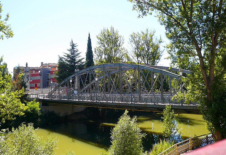
Dirección Provincial de Educación de Palencia is a government office in Palencia, Castile and León which is located on Avenida Castilla. Dirección Provincial de Educación de Palencia is situated nearby to the bridge Puente de Hierro, Palencia, as well as near Plaza Pío XII.| Tap on a place to explore it |
- Type: Government office
- Also known as: “DP Palencia”
- Address: Avenida Castilla 83
Places of Interest Nearby
Highlights include Puente de Hierro, Palencia and Plaza Pío XII.

Palencia Cathedral
Museum

Photo: Fernando, CC BY-SA 4.0.
The Cathedral Basilica of Saint Antoninus is a Roman Catholic church located in Palencia, Spain. It is dedicated to Saint Antoninus of Pamiers. Palencia Cathedral is situated 740 metres northwest of Dirección Provincial de Educación de Palencia.
Places in the Area
Nearby places include Villalobón and Villamuriel de Cerrato.
Villalobón
Village

Photo: Rastrojo, CC BY-SA 4.0.
Villalobón is a municipality located in the province of Palencia, Castile and León, Spain. According to the 2004 census, the municipality has a population of 608 inhabitants. Villalobón is situated 3½ km northeast of Dirección Provincial de Educación de Palencia.
Villamuriel de Cerrato
Village

Photo: Zarateman, Public domain.
Villamuriel de Cerrato is a municipality located in the province of Palencia, Castile and León, Spain. According to the 2024 census, the municipality had a population of 6,502 inhabitants. Villamuriel de Cerrato is situated 6 km south of Dirección Provincial de Educación de Palencia.
Grijota
Village

Photo: Garry1954, CC BY-SA 4.0.
Grijota is a municipality located in the province of Palencia, Castile and León, Spain. According to the 2019 census, the municipality has a population of 2,319 inhabitants. Grijota is situated 7 km northwest of Dirección Provincial de Educación de Palencia.
Dirección Provincial de Educación de Palencia
- Categories: building, office, and government building
- Location: Palencia, Palencia, Castile and León, Central Spain, Spain, Iberia, Europe
- View on OpenStreetMap
Latitude
42.00565° or 42° 0′ 20″ northLongitude
-4.53208° or 4° 31′ 56″ westOpen location code
8CJQ2F49+75OpenStreetMap ID
way 84392487OpenStreetMap feature
building=yesOpenStreetMap feature
office=government
This page is based on OpenStreetMap, Wikidata, and Wikimedia Commons.
We’d love your help improving our open data sources. Thank you for contributing.
Satellite Map
Discover Dirección Provincial de Educación de Palencia from above in high-definition satellite imagery.
Notable Places Nearby
Highlights include GymFit and Danilo.
Nearby Places
Explore places such as Avda. de Castilla (Educación y Ciencia) and Skarlotas.
Castile and León: Must-Visit Destinations
Delve into Valladolid, Salamanca, León, and Segovia.
Curious Government Offices to Discover
Uncover intriguing government offices from every corner of the globe.
About Mapcarta. Data © OpenStreetMap contributors and available under the Open Database License". Text is available under the CC BY-SA 4.0 license, except for photos, directions, and the map. Photo: Wikimedia, CC BY-SA 2.5.