SET Súria
SET Súria is an electrical substation in Súria, Barcelona, Catalonia. SET Súria is situated nearby to the sports venue Camp de futbol, as well as near the school Escola Francesc Macià.| Tap on a place to explore it |
Places of Interest Nearby
Highlights include Castell de Súria and Sant Cristòfol de Súria.
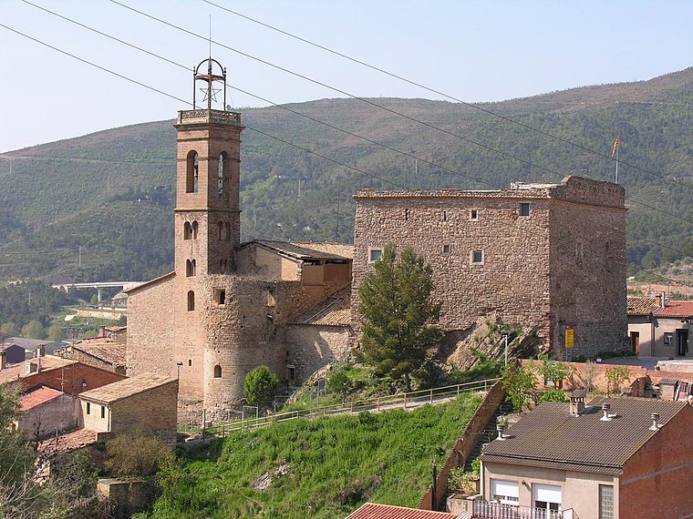
Sant Cristòfol de Súria
Church

Photo: Sallebs, CC BY-SA 4.0.
Sant Cristòfol de Súria is a church, which is situated 790 metres west of SET Súria.
Santa Maria de Cererols
Church

Photo: Wikimedia, CC BY-SA 2.5.
Santa Maria de Cererols is a church, which is situated 1¼ km southeast of SET Súria.
Places in the Area
Nearby places include El Samuntà and Valls de Torroella.
El Samuntà
Neighborhood

Photo: Isidre blanc, CC BY-SA 4.0.
El Samuntà is a neighborhood, which is situated 3 km north of SET Súria.
Valls de Torroella
Village

Photo: Amadalvarez, CC BY-SA 3.0.
Valls de Torroella is a village, which is situated 4 km northwest of SET Súria.
Coaner
Locality

Photo: PCB75, CC BY-SA 3.0 es.
Coaner is a locality, which is situated 4 km west of SET Súria.
SET Súria
- Type: Electrical substation
- Category: industry
- Location: Súria, Barcelona, Catalonia, Eastern Spain, Spain, Iberia, Europe
- View on OpenStreetMap
Latitude
41.82979° or 41° 49′ 47″ northLongitude
1.76081° or 1° 45′ 39″ eastOperator
EndesaOpen location code
8FH3RQH6+W8OpenStreetMap ID
way 849808240
This page is based on OpenStreetMap, Wikidata, and Wikimedia Commons.
We’d love your help improving our open data sources. Thank you for contributing.
Satellite Map
Discover SET Súria from above in high-definition satellite imagery.
Notable Places Nearby
Highlights include Camp de futbol and Escola Francesc Macià.
Nearby Places
Explore places such as Torre del Cable and El Casino.
Barcelona: Must-Visit Destinations
Delve into Barcelona, Malgrat de Mar, Terrassa, and Badalona.
Curious Electrical Substations to Discover
Uncover intriguing electrical substations from every corner of the globe.
About Mapcarta. Data © OpenStreetMap contributors and available under the Open Database License". Text is available under the CC BY-SA 4.0 license, except for photos, directions, and the map. Photo: Alex Micheu Photography, CC BY-SA 3.0.