Laurels Walk Plantation
Laurels Walk Plantation is a forest in Gilling with Hartforth and Sedbury, Richmondshire District, England. Laurels Walk Plantation is situated nearby to the locality The Rock, as well as near the village Gilling West.| Tap on a place to explore it |
Places of Interest
Highlights include St Agatha’s Church, Gilling West and St James’ Church, Melsonby.
St Agatha’s Church, Gilling West
Church

Photo: Hugh Mortimer, CC BY-SA 2.0.
St Agatha's Church is an Anglican church in Gilling West, a village in North Yorkshire, in England. The church was originally built in the late 11th century, as a small rectangular building with a west tower.
St James’ Church, Melsonby
Church

Photo: Alison Stamp, CC BY-SA 2.0.
St James' Church is in the village of Melsonby, North Yorkshire, England. It is an Anglican parish church in the deanery of Richmond, the archdeaconry of Richmond, and the Diocese of Leeds.

Places in the Area
Nearby places include Richmond and Gilling West.
Richmond

Photo: AlasdairW, CC BY-SA 3.0.
Richmond is a market town in North Yorkshire in northeast England, with a population of just over 50,000 in 2021. It has an attractive old centre and is a good base for visiting the Yorkshire Dales.
Gilling West
Village
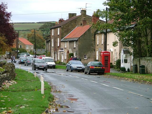
Photo: Mick Garratt, CC BY-SA 2.0.
Gilling West is a village about 3.5 miles north of Richmond in North Yorkshire, England. It is located in the civil parish of Gilling with Hartforth and Sedbury.
Hartforth
Locality
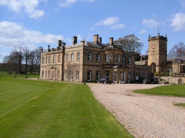
Photo: Roger Dean, CC BY-SA 2.0.
Hartforth is a small village in the county of North Yorkshire, England. The village is situated approximately 9 miles south-west from the market town of Darlington, and is part of the civil parish of Gilling with Hartforth and Sedbury.
Laurels Walk Plantation
Latitude
54.4441° or 54° 26′ 39″ northLongitude
-1.6955° or 1° 41′ 44″ westOpen location code
9C6WC8V3+MQOpenStreetMap ID
way 857759817OpenStreetMap feature
natural=wood
This page is based on OpenStreetMap, Wikidata, and Wikimedia Commons.
We’d love your help improving our open data sources. Thank you for contributing.
Satellite Map
Discover Laurels Walk Plantation from above in high-definition satellite imagery.
Localities in the Area
Explore places such as The Rock and Harelands.
Notable Places Nearby
Highlights include Laurels Walk Plantation and Belt Plantation.
North Yorkshire: Must-Visit Destinations
Delve into York, Middlesbrough, Harrogate, and Ripon.
Curious Forests to Discover
Uncover intriguing forests from every corner of the globe.
About Mapcarta. Data © OpenStreetMap contributors and available under the Open Database License". Text is available under the CC BY-SA 4.0 license, except for photos, directions, and the map. Photo: Michael Bryan, CC BY 2.0.