Zone d’activités des Goupils
Zone d’activités des Goupils is in Boussy-Saint-Antoine, Arrondissement of Évry, Île-de-France. Zone d’activités des Goupils is situated nearby to the sports venue Salle de sport des Antonins, as well as near the park Parc Nelson Mandela.| Tap on a place to explore it |
Places of Interest Nearby
Highlights include Boussy-Saint-Antoine station and Town hall of Boussy-Saint-Antoine.
Boussy-Saint-Antoine station
Railway station

Photo: Wikimedia, CC BY-SA 3.0.
Boussy-Saint-Antoine is a railway station on the border of Boussy-Saint-Antoine and Quincy-sous-Senart, both in Essonne, Île-de-France, France. The station was opened in 1995 and is on the Paris–Marseille railway. Boussy-Saint-Antoine station is situated 760 metres east of Zone d’activités des Goupils.
Town hall of Boussy-Saint-Antoine
Town hall

Photo: Chabe01, CC BY-SA 4.0.
Town hall of Boussy-Saint-Antoine is situated 1¼ km northeast of Zone d’activités des Goupils.
Town hall of Quincy-sous-Sénart
Town hall
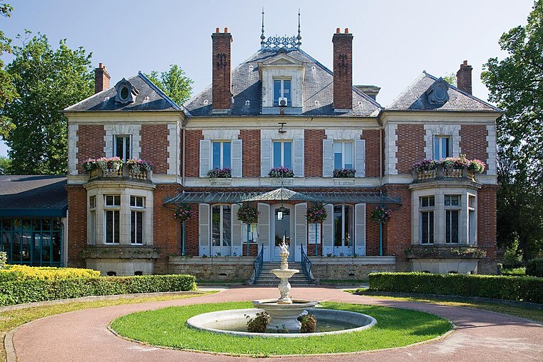
Photo: Sebgigon, CC BY-SA 3.0.
Town hall of Quincy-sous-Sénart is situated 1½ km southeast of Zone d’activités des Goupils.
Places in the Area
Nearby places include Boussy-Saint-Antoine and Brunoy.
Boussy-Saint-Antoine
Village

Photo: Yannig, CC BY-SA 3.0.
Boussy-Saint-Antoine is a commune in the Essonne department in Île-de-France in northern France. The town has close connections with the Dutch village Aagtdorp and the Canadian city of Halifax.
Brunoy
Town

Photo: Vinbaron, CC BY-SA 3.0.
Brunoy is a commune in the southeastern suburbs of Paris, Île-de-France, France. It is located 20.6 km from the center of Paris. The tenor Louis Nourrit died in Brunoy. Brunoy is situated 2½ km northwest of Zone d’activités des Goupils.
Varennes-Jarcy
Village

Photo: Indif, CC BY-SA 3.0.
Varennes-Jarcy is a commune in the Essonne department in northern France, located between Périgny and Combs-la-Ville 25 km from the center of Paris. Varennes-Jarcy is situated 2½ km east of Zone d’activités des Goupils.
Zone d’activités des Goupils
- Type: Industry
- Location: Boussy-Saint-Antoine, Arrondissement of Évry, Essonne, Île-de-France, France, Europe
- View on OpenStreetMap
Latitude
48.67858° or 48° 40′ 43″ northLongitude
2.52328° or 2° 31′ 24″ eastOpen location code
8FW4MGHF+C8OpenStreetMap ID
way 858826269OpenStreetMap feature
landuse=industrial
This page is based on OpenStreetMap, Wikidata, and Wikimedia Commons.
We’d love your help improving our open data sources. Thank you for contributing.
Satellite Map
Discover Zone d’activités des Goupils from above in high-definition satellite imagery.
Notable Places Nearby
Highlights include Salle de sport des Antonins and Parc Nelson Mandela.
Nearby Places
Explore places such as Lycée professionnel Les Frères Moreau and Total.
Île-de-France: Must-Visit Destinations
Delve into Paris, Versailles, Boulogne-Billancourt, and Paris Charles de Gaulle Airport.
Curious Places to Discover
Uncover intriguing places from every corner of the globe.
About Mapcarta. Data © OpenStreetMap contributors and available under the Open Database License". Text is available under the CC BY-SA 4.0 license, except for photos, directions, and the map. Photo: Olybrius, CC BY-SA 3.0.