Plumpton Place
Plumpton Place is a building in Plumpton, Lewes, England. Plumpton Place is situated nearby to the pitch Arena A, as well as near the church St Michael’s.| Tap on a place to explore it |
Places of Interest Nearby
Highlights include Plumpton Place and Plumpton College.
Plumpton Place
Manor estate

Photo: Simon Carey, CC BY-SA 2.0.
Plumpton Place is a Grade II* listed Elizabethan manor house in Plumpton, East Sussex, England. Plumpton Place is situated 410 feet southeast of Plumpton Place.
Plumpton College
College
Plumpton College is a Further and Higher education college in Plumpton, East Sussex, England, with courses in a variety of land based and related subjects. Plumpton College is situated 1,000 feet northwest of Plumpton Place.
Blackcap
Peak

Photo: Simon Burchell, CC BY-SA 4.0.
Blackcap is a hill and nature reserve in East Sussex, England. It is on a peak of the South Downs, just south east of Plumpton and west of Lewes. The flatter landscape is made up of open ground with chalk paths, surrounded by thickets.
Places in the Area
Nearby places include Sussex and Plumpton Green.
Sussex

Photo: matthewhartley369, CC BY-SA 2.0.
Sussex in the United Kingdom may refer to one of the two counties of East Sussex and West Sussex in South East England.
Plumpton Green
Village

Photo: Charlesdrakew, Public domain.
Plumpton Green is a village, which is situated 2 miles north of Plumpton Place.
Ditchling
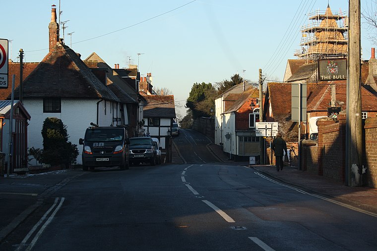
Photo: Paste, CC BY-SA 3.0.
Ditchling is a village and civil parish in the Lewes District of East Sussex, England. The village is contained within the boundaries of the South Downs National Park; the order confirming the establishment of the park was signed in Ditchling.
Plumpton Place
- Type: Agricultural structure
- Categories: building and agriculture
- Location: Plumpton, Lewes, East Sussex, South East England, England, United Kingdom, Britain and Ireland, Europe
- View on OpenStreetMap
Latitude
50.9049° or 50° 54′ 18″ northLongitude
-0.06829° or 0° 4′ 6″ westLevels
1Height
26 feet (8 metres)Open location code
9C2XWW3J+XMOpenStreetMap ID
way 858885750OpenStreetMap feature
building=farm_auxiliary
This page is based on OpenStreetMap, Wikidata, and Wikimedia Commons.
We’d love your help improving our open data sources. Thank you for contributing.
Satellite Map
Discover Plumpton Place from above in high-definition satellite imagery.
Places with the Same Name
Discover other places named “Plumpton Place”.
Notable Places Nearby
Highlights include Arena A and St Michael’s.
Nearby Places
Explore places such as Plumpton Place and Plumpton College.
East Sussex: Must-Visit Destinations
Delve into Brighton, Eastbourne, Hastings, and Rye.
Curious Places to Discover
Uncover intriguing places from every corner of the globe.
About Mapcarta. Data © OpenStreetMap contributors and available under the Open Database License". Text is available under the CC BY-SA 4.0 license, except for photos, directions, and the map. Photo: Editor5807, CC BY 3.0.