aluplast GmbH
aluplast GmbH is an industrial building in Ettlingen, Karlsruhe, Baden-Württemberg. aluplast GmbH is situated nearby to the historic site Ettlinger Linie, as well as near the post office Deutsche Post Filiale 513.| Tap on a place to explore it |
Places of Interest Nearby
Highlights include Our Lady Church and Ettlingen West.
Our Lady Church
Church
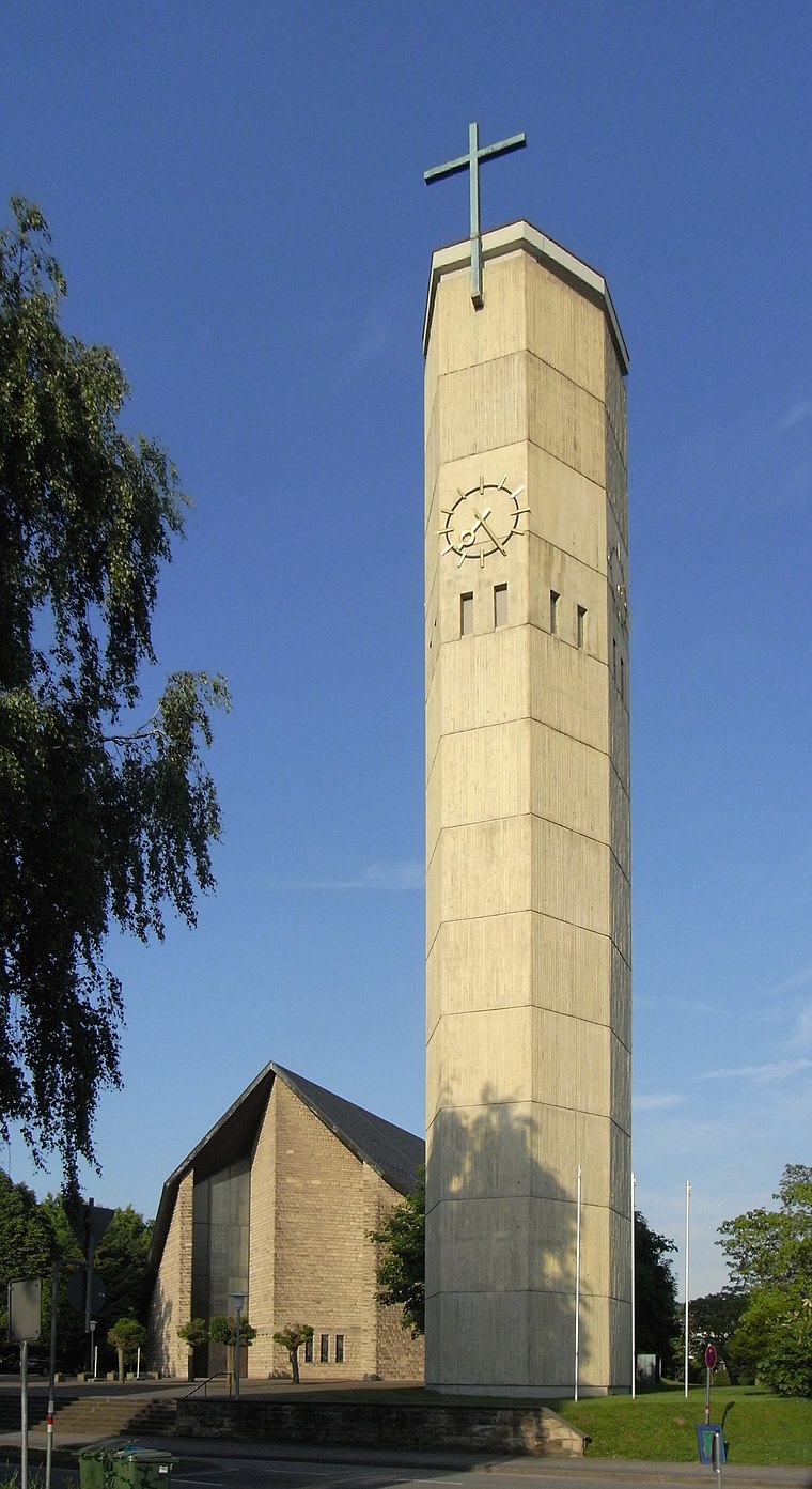
Photo: Aisano, CC BY-SA 3.0.
Our Lady Church is situated 590 metres northeast of aluplast GmbH.
Ettlingen West
Railway station

Photo: Sitacuisses, CC BY-SA 3.0 de.
Ettlingen West is a railway station, which is situated 770 metres east of aluplast GmbH.
Hans-Bretz-Stadion
Stadium

Photo: Püppen, CC BY-SA 4.0.
Hans-Bretz-Stadion is a stadium, which is situated 1½ km southeast of aluplast GmbH.
Places in the Area
Nearby places include Spessart and Rheinstetten.
Spessart
Village

Photo: Elwood j blues, CC BY-SA 3.0.
Spessart is a village, which is situated 5 km southeast of aluplast GmbH.
Rheinstetten
Town

Photo: DALIBRI, CC BY-SA 4.0.
Rheinstetten is a town in the west of Baden-Württemberg on the border to Rhineland-Palatinate. It is situated to the south-west of Karlsruhe and belongs to the rural district of Karlsruhe. Rheinstetten is situated 6 km northwest of aluplast GmbH.
Wolfartsweier
Suburb
Wolfartsweier is a village and a quarter of Karlsruhe, Baden-Württemberg, Germany. Its population is 3,068. It was first mentioned in 1261 AD under the name of "Wolvoldeswilere". Wolfartsweier is situated 7 km northeast of aluplast GmbH.
aluplast GmbH
- Type: Industrial building
- Categories: building and industry
- Location: Ettlingen, Karlsruhe, Karlsruhe Region, Rhine-Neckar, Baden-Württemberg, Germany, Central Europe, Europe
- View on OpenStreetMap
Latitude
48.94545° or 48° 56′ 44″ northLongitude
8.37758° or 8° 22′ 39″ eastOpen location code
8FWCW9WH+52OpenStreetMap ID
way 86504992OpenStreetMap feature
building=industrial
This page is based on OpenStreetMap, Wikidata, and Wikimedia Commons.
We’d love your help improving our open data sources. Thank you for contributing.
Satellite Map
Discover aluplast GmbH from above in high-definition satellite imagery.
Places with the Same Name
Discover other places named “aluplast GmbH”.
Notable Places Nearby
Highlights include Ettlinger Linie and Deutsche Post Filiale 513.
Nearby Places
Explore places such as Lebensmittel Fundgrube and Ettlingen Englerstraße.
Rhine-Neckar: Must-Visit Destinations
Delve into Heidelberg, Karlsruhe, Mannheim, and Heilbronn.
Curious Industrial Buildings to Discover
Uncover intriguing industrial buildings from every corner of the globe.
About Mapcarta. Data © OpenStreetMap contributors and available under the Open Database License". Text is available under the CC BY-SA 4.0 license, except for photos, directions, and the map. Photo: Martin-D, CC BY-SA 2.5.