Col·legi d’Educació Infantil i Primària Es Vedrà
Col·legi d’Educació Infantil i Primària Es Vedrà is a college in Sant Josep de sa Talaia, Balearic Islands. Col·legi d’Educació Infantil i Primària Es Vedrà is situated nearby to the peak Puig d’en Lluc, as well as near Puig des Rafals.| Tap on a place to explore it |
Places of Interest Nearby
Highlights include Platja Es Pinet and Platja Port d’es Torrent.
Platja Es Pinet
Beach
Platja Es Pinet is in a small cove within the bay of Sant Antoni Bay. The beach is on the northern seaboard of the Spanish island of Ibiza. Although it is but a short distance from Sant Antoni, It is in the municipality of Sant Josep de sa Talaia. Platja Es Pinet is situated 2½ km north of Col·legi d’Educació Infantil i Primària Es Vedrà.
Platja Port d’es Torrent
Beach

Photo: anibal amaro, CC BY 3.0.
Port d'es Torrent is in a small cove within the bay of Sant Antoni Bay. The beach is on the northern seaboard of the Spanish island of Ibiza. Although it is but a short distance from Sant Antoni, it is in the municipality of Sant Josep de sa Talaia. Platja Port d’es Torrent is situated 2½ km northwest of Col·legi d’Educació Infantil i Primària Es Vedrà.
Cafe del Mar
Bar
 Café del Mar is a bar located in Sant Antoni de Portmany, Ibiza, established in 1980. In 1999, it founded the record label Café del Mar Music, known for its series of chillout CDs. Cafe del Mar is situated 3½ km north of Col·legi d’Educació Infantil i Primària Es Vedrà.
Places in the Area
Nearby places include Sant Agustí des Vedrà and Sant Antoni de Portmany.
Sant Agustí des Vedrà
Hamlet
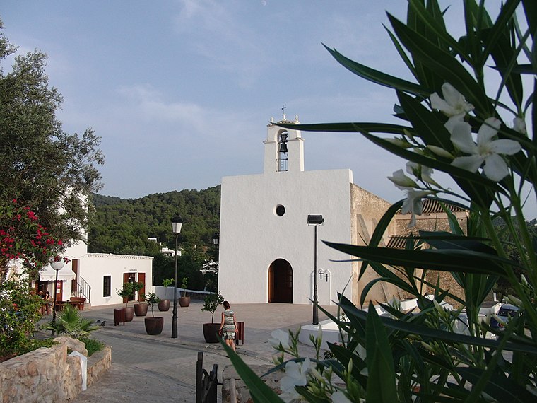
Photo: JanManu, CC BY-SA 3.0.
Sant Agustí des Vedrà is a small village in the West of the Spanish island of Ibiza. The village is in the municipality of Sant Josep de sa Talaia and is located on designated road EI-700.
Sant Antoni de Portmany

Photo: Standardizer, CC BY-SA 3.0.
Sant Antoni de Portmany is the second largest town in Ibiza, and is considered by British clubbers to be the clubbing capital of the world. It is on San Antonio Bay, on the west of Ibiza.
Sa Foradada
Locality

Photo: UnFUG-Fabi, CC0.
Sa Foradada is a locality, which is situated 7 km north of Col·legi d’Educació Infantil i Primària Es Vedrà.
Col·legi d’Educació Infantil i Primària Es Vedrà
- Type: College
- Also known as: “CEIP Es Vedrà”
- Category: education
- Location: Sant Josep de sa Talaia, Balearic Islands, Spain, Iberia, Europe
- View on OpenStreetMap
Latitude
38.94999° or 38° 56′ 60″ northLongitude
1.2905° or 1° 17′ 26″ eastOpen location code
8FC3W7XR+X5OpenStreetMap ID
way 867769450OpenStreetMap feature
amenity=college
This page is based on OpenStreetMap, Wikidata, and Wikimedia Commons.
We’d love your help improving our open data sources. Thank you for contributing.
Satellite Map
Discover Col·legi d’Educació Infantil i Primària Es Vedrà from above in high-definition satellite imagery.
In Other Languages
“Col·legi d’Educació Infantil i Primària Es Vedrà” goes by many names.
- Catalan: “Col·legi d’Educació Infantil i Primària Es Vedrà”
Notable Places Nearby
Highlights include Puig d’en Lluc and Puig des Rafals.
Nearby Places
Explore places such as IES Sant Agustí and Institut d’Educació Secundària Sant Agustí.
Balearic Islands: Must-Visit Destinations
Delve into Palma de Mallorca, Formentera, Ibiza, and Maó.
Curious Places to Discover
Uncover intriguing places from every corner of the globe.
About Mapcarta. Data © OpenStreetMap contributors and available under the Open Database License". Text is available under the CC BY-SA 4.0 license, except for photos, directions, and the map. Photo: anieto2k, CC BY-SA 2.0.