Hospital Guilherme Álvaro
Hospital Guilherme Álvaro is a hospital in Santos and South Coast, São Paulo which is located on Rua Doutor Oswaldo Cruz. Hospital Guilherme Álvaro is situated nearby to the hospital Rede Hebe Camargo de Combate ao Câncer, as well as near Pronto Socorro Guilherme Álvaro.| Tap on a place to explore it |
- Email: hga-dirtecnica@saude.sp.gov.br
- Type: Hospital
- Address: 197 Rua Doutor Oswaldo Cruz, Boqueirão, 11045-904
Places of Interest Nearby
Highlights include Santos seashore gardens and Pinacoteca Benedito Calixto.
Santos seashore gardens
Park

Photo: Regina Capp, CC BY-SA 4.0.
Santos seashore gardens is a park, which is situated 1¼ km southwest of Hospital Guilherme Álvaro.
Pinacoteca Benedito Calixto
Museum

Photo: Mike Peel, CC BY-SA 4.0.
Pinacoteca Benedito Calixto is a museum, which is situated 1¼ km south of Hospital Guilherme Álvaro.
Ana Costa Station
Railway station

Photo: Governo do Estado de São Paulo, CC BY 2.0.
Ana Costa Station is a railway station, which is situated 1¼ km west of Hospital Guilherme Álvaro.
Places in the Area
Nearby places include Ponta da Praia and Centro.
Ponta da Praia
Suburb
 Ponta da Praia is a suburb, which is situated 3 km southeast of Hospital Guilherme Álvaro.
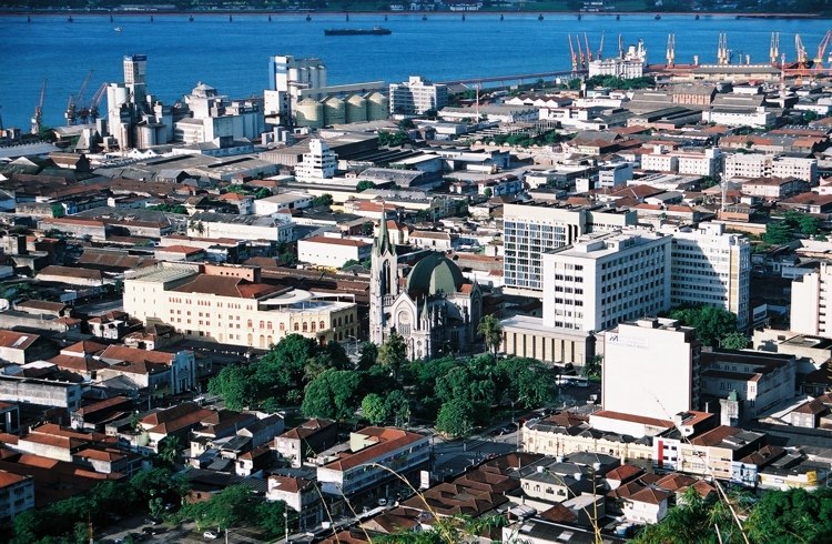
Santos

Photo: Wikimedia, CC BY-SA 2.0.
Santos is a city in the south of the state of São Paulo, Brazil. Santos is the core city of Baixada Santista, a coastal metropolitan area, and contains the most important port in South America.
Hospital Guilherme Álvaro
- Category: health care
- Location: Santos and South Coast, São Paulo, Southeast, Brazil, South America
- View on OpenStreetMap
Latitude
-23.96295° or 23° 57′ 47″ southLongitude
-46.32033° or 46° 19′ 13″ westOpen location code
588M2MPH+RVOpenStreetMap ID
way 869525114OpenStreetMap feature
amenity=hospitalOpenStreetMap feature
healthcare=hospital
This page is based on OpenStreetMap, Wikidata, and Wikimedia Commons.
We’d love your help improving our open data sources. Thank you for contributing.
Satellite Map
Discover Hospital Guilherme Álvaro from above in high-definition satellite imagery.
Notable Places Nearby
Highlights include Rede Hebe Camargo de Combate ao Câncer and Pronto Socorro Guilherme Álvaro.
Nearby Places
Explore places such as Kawabanga Snack & Bar and Graminha Pizzaria.
Santos and South Coast: Must-Visit Destinations
Delve into Santos, Guarujá, São Vicente, and Cubatão.
Curious Hospitals to Discover
Uncover intriguing hospitals from every corner of the globe.
About Mapcarta. Data © OpenStreetMap contributors and available under the Open Database License". Text is available under the CC BY-SA 4.0 license, except for photos, directions, and the map. Photo: Wikimedia, CC0.