Barlaston Substation
Barlaston Substation is an electrical substation in Stone Rural, Stafford District, England. Barlaston Substation is situated nearby to Turnover Bridge (Canal Bridge Number 100) circa 500m to north-west of Meaford Farm, as well as near Siddall’s Bridge.| Tap on a place to explore it |
Places of Interest Nearby
Highlights include Turnover Bridge (Canal Bridge Number 100) circa 500m to north-west of Meaford Farm and Meaford Hall.
Turnover Bridge (Canal Bridge Number 100) circa 500m to north-west of Meaford Farm
Bridge
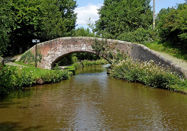
Photo: Wikimedia, CC BY-SA 2.0.
Turnover Bridge (Canal Bridge Number 100) circa 500m to north-west of Meaford Farm is situated 1,100 feet east of Barlaston Substation.
Meaford Hall
Residential area
 Meaford Hall in Staffordshire, England is a 17th-century country house at Meaford, near Stone, Staffordshire. The River Trent runs through the estate's meadow. Meaford Hall is situated 2,400 feet south of Barlaston Substation.
Stone railway station
Railway station

Photo: Goose, CC BY-SA 3.0.
Stone railway station serves the market town of Stone, in Staffordshire, England. It is located on a junction of the Colwich to Manchester spur of the West Coast Main Line, but has platforms only on the branch from Stafford to Stoke-on-Trent. Stone railway station is situated 1¼ miles southeast of Barlaston Substation.
Places in the Area
Nearby places include Barlaston and Oulton.
Barlaston
Village

Photo: Peter I. Vardy, Public domain.
Barlaston is a village and civil parish in Staffordshire, England, halfway between Stoke-on-Trent and Stone. At the 2011 census, the population was 2,858.
Oulton
Village
Oulton is a village in the civil parish of Stone Rural, in the Stafford district, in the county of Staffordshire, England. The village is located north of the market town of Stone and near to the Trent and Mersey Canal.
Tittensor
Village

Photo: Andy and Hilary, CC BY-SA 2.0.
Tittensor village is located in Staffordshire, England, between Stoke-on-Trent and Stone. The population as taken at the 2011 census can be found under Swynnerton. Tittensor is situated 1½ miles northwest of Barlaston Substation.
Barlaston Substation
- Type: Electrical substation
- Also known as: “Meaford Power Station Substation”
- Category: industry
- Location: Stone Rural, Stafford District, Staffordshire, West Midlands, England, United Kingdom, Britain and Ireland, Europe
- View on OpenStreetMap
Latitude
52.92395° or 52° 55′ 26″ northLongitude
-2.16762° or 2° 10′ 3″ westOpen location code
9C4VWRFJ+HXOpenStreetMap ID
way 87211522
This page is based on OpenStreetMap, Wikidata, and Wikimedia Commons.
We’d love your help improving our open data sources. Thank you for contributing.
Satellite Map
Discover Barlaston Substation from above in high-definition satellite imagery.
Places with the Same Name
Discover other places named “Barlaston Substation”.
Notable Places Nearby
Highlights include Siddall’s Bridge and Bury Bank Hillfort.
Nearby Places
Explore places such as Meaford Energy Centre and Meaford Business Park.
Staffordshire: Must-Visit Destinations
Delve into Stoke-on-Trent, Lichfield, Stafford, and Tamworth.
Curious Electrical Substations to Discover
Uncover intriguing electrical substations from every corner of the globe.
About Mapcarta. Data © OpenStreetMap contributors and available under the Open Database License". Text is available under the CC BY-SA 4.0 license, except for photos, directions, and the map. Photo: Wikimedia, CC0.