Cabrillo Park Playground
Cabrillo Park Playground is a playground in Alameda, California. Cabrillo Park Playground is situated nearby to Fremont Christian School, as well as near Saint James Episcopal Church.| Tap on a place to explore it |
Places of Interest Nearby
Highlights include Fremont Christian School and Musick Park.
Fremont Christian School
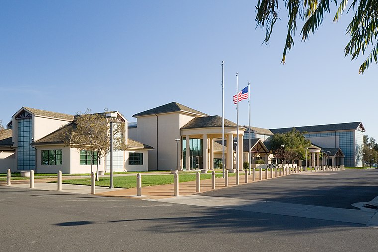
School

Photo: Embilina, CC BY-SA 4.0.
Fremont Christian School is situated 1,200 feet east of Cabrillo Park Playground.

Fremont station
Railway station

Photo: Pedro Xing, CC0.
Fremont station is a train station located in the Centerville area of Fremont, California, United States. The station is served by Amtrak Capitol Corridor commuter rail/intercity rail service and the Altamont Corridor Express commuter rail service. Fremont station is situated 1 mile northeast of Cabrillo Park Playground.
Places in the Area
Nearby places include Newark and Fremont.
Newark
 Newark is a small community in the East Bay portion of the San Francisco Bay Area region of California. It is an enclave of the larger city of Fremont.
Fremont

Photo: Mactographer, CC BY 2.5.
Fremont is a suburban city in the southern part of the East Bay of the San Francisco Bay Area; it is the 4th largest city in the Bay Area by population.
Mowry Landing
Hamlet
Mowry Landing is a former settlement in Alameda County, California. It is located 2 miles southeast of central Newark on the San Francisco Bay. It lies at an elevation of 10 feet. Mowry Landing is situated 2½ miles south of Cabrillo Park Playground.
Cabrillo Park Playground
- Type: Playground
- Category: recreation area
- Location: Alameda, California, United States, North America
- View on OpenStreetMap
Latitude
37.55166° or 37° 33′ 6″ northLongitude
-122.02259° or 122° 1′ 21″ westOpen location code
849VHX2G+MXOpenStreetMap ID
way 872144842OpenStreetMap feature
leisure=playground
This page is based on OpenStreetMap, Wikidata, and Wikimedia Commons.
We’d love your help improving our open data sources. Thank you for contributing.
Satellite Map
Discover Cabrillo Park Playground from above in high-definition satellite imagery.
Notable Places Nearby
Highlights include Cabrillo Park and Saint James Episcopal Church.
Nearby Places
Explore places such as Cabrillo Elementary School and garden.
California: Must-Visit Destinations
Delve into San Francisco, Los Angeles, San Diego, and Sacramento.
Curious Playgrounds to Discover
Uncover intriguing playgrounds from every corner of the globe.
About Mapcarta. Data © OpenStreetMap contributors and available under the Open Database License". Text is available under the CC BY-SA 4.0 license, except for photos, directions, and the map. Photo: Miskatonic, CC BY 2.5.