Shopping Pajot
Shopping Pajot is a commercial area in Vorst, Arrondissement of Brussels-Capital. Shopping Pajot is situated nearby to the bridge Drie Fonteinenbrug, as well as near the church Sint-Stefanuskerk.| Tap on a place to explore it |
Places of Interest Nearby
Highlights include Sint-Stefanuskerk and Drogenbos power plant.
Sint-Stefanuskerk
Church
 Sint-Stefanuskerk is a church, which is situated 510 metres west of Shopping Pajot.
Drogenbos power plant
Power station

Photo: Vinzos17570, CC BY-SA 3.0.
Drogenbos power plant is a power station, which is situated 640 metres southeast of Shopping Pajot.
Ecole Supérieure des Arts du Cirque
College
The École supérieure des Arts du Cirque is a professional circus school located in Brussels, Belgium. The Ecole Supérieure des Arts du Cirque de Bruxelles is one of very few colleges in the world to provide circus training leading to a diploma, along with the… Ecole Supérieure des Arts du Cirque is situated 1 km northeast of Shopping Pajot.
Places in the Area
Nearby places include Negenmanneke and La Roue.
La Roue
Neighborhood

Photo: Wikimedia, CC BY-SA 3.0.
La Roue or Het Rad, meaning "The Wheel", is a district of Anderlecht, a municipality of Brussels, Belgium. Located in the south of Anderlecht, it is one of this municipality's largest districts of and one of Brussels' main garden cities.
Ruisbroek
Village
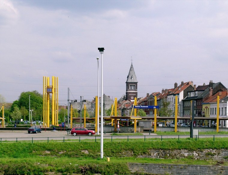
Photo: Koos Fernhout, CC BY-SA 2.0.
Ruisbroek is a village in the municipality of Sint-Pieters-Leeuw, in the Belgian province of Flemish Brabant. Previously a separate municipality, it became a deelgemeente of Sint-Pieters-Leeuw in 1977.
Shopping Pajot
Latitude
50.80534° or 50° 48′ 19″ northLongitude
4.29167° or 4° 17′ 30″ eastOpen location code
9F26R74R+4MOpenStreetMap ID
way 873099058OpenStreetMap feature
landuse=retail
This page is based on OpenStreetMap, Wikidata, and Wikimedia Commons.
We’d love your help improving our open data sources. Thank you for contributing.
Satellite Map
Discover Shopping Pajot from above in high-definition satellite imagery.
Notable Places Nearby
Highlights include Drie Fonteinenbrug and Lambiek Fabriek.
Nearby Places
Explore places such as AVA and Albert Heijn.
Belgium: Must-Visit Destinations
Delve into Brussels, Antwerp, Ghent, and Liège.
Curious Commercial Areas to Discover
Uncover intriguing commercial areas from every corner of the globe.
About Mapcarta. Data © OpenStreetMap contributors and available under the Open Database License". Text is available under the CC BY-SA 4.0 license, except for photos, directions, and the map. Photo: Hullie, CC BY-SA 3.0.