Ancienne habitation du portier
Ancienne habitation du portier is a house in Éghezée, Arrondissement of Namur, Wallonia which is located on Rue de l’Abbaye. Ancienne habitation du portier is situated nearby to the church Chapelle Saint-Pierre, as well as near the monastery Ancienne abbaye de Boneffe.| Tap on a place to explore it |
Places of Interest Nearby
Highlights include Boneffe Abbey and Tumuli of Mirteaux.
Boneffe Abbey
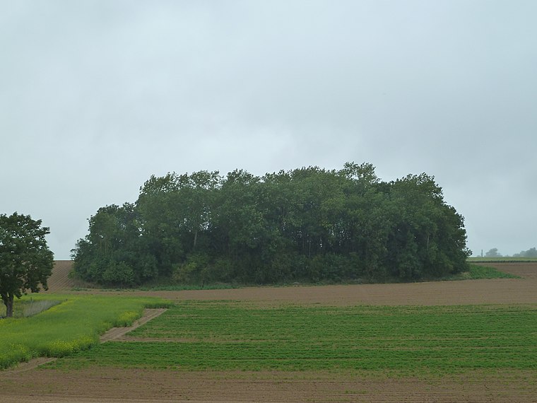
Residential area

Photo: Grentidez, Public domain.
Boneffe Abbey was, from the early 13th century until the end of the 18th century, a Cistercian monastery on the banks of the Mehaigne in what is now the municipality of Éghezée, Wallonia, Belgium. Boneffe Abbey is situated 410 metres southeast of Ancienne habitation du portier.
Tumuli of Mirteaux
Archaeological site
 Tumuli of Mirteaux is an archaeological site, which is situated 3½ km northeast of Ancienne habitation du portier.
Ferme Dethy
Farmhouse

Photo: Mortier.Daniel, CC BY-SA 3.0.
Ferme Dethy is a farmhouse, which is situated 1½ km west of Ancienne habitation du portier.
Places in the Area
Nearby places include Boneffe and Taviers.

Ramillies
Village

Photo: Jean-Pol GRANDMONT, CC BY 2.0.
Ramillies is a municipality of Wallonia located in the Belgian province of Walloon Brabant. On 1 January 2012, Ramillies had a total population of 6,211. Ramillies is situated 3 km northwest of Ancienne habitation du portier.
Ancienne habitation du portier
- Type: House
- Address: Rue de l’Abbaye
- Categories: building, historic site, and residential building
- Location: Éghezée, Arrondissement of Namur, Namur, Wallonia, Belgium, Benelux, Europe
- View on OpenStreetMap
Latitude
50.6233° or 50° 37′ 24″ northLongitude
4.95234° or 4° 57′ 8″ eastInception
1777Open location code
9F26JXF2+8WOpenStreetMap ID
way 878409400OpenStreetMap feature
building=houseOpenStreetMap feature
historic=yes
This page is based on OpenStreetMap, Wikidata, and Wikimedia Commons.
We’d love your help improving our open data sources. Thank you for contributing.
Satellite Map
Discover Ancienne habitation du portier from above in high-definition satellite imagery.
Notable Places Nearby
Highlights include Chapelle Saint-Pierre and Ancienne abbaye de Boneffe.
Nearby Places
Explore places such as Ancien Orphelinat de Boneffe and Taviers Rue de Taviers.
Curious Houses to Discover
Uncover intriguing houses from every corner of the globe.
About Mapcarta. Data © OpenStreetMap contributors and available under the Open Database License". Text is available under the CC BY-SA 4.0 license, except for photos, directions, and the map. Photo: Zairon, CC BY-SA 4.0.