Walton Cottages
Walton Cottages is a terrace house in Hartlebury, Wychavon District, England. Walton Cottages is situated nearby to the quarry Weinerberger Brick, as well as near Hartlebury railway station.| Tap on a place to explore it |
Places of Interest Nearby
Highlights include Hartlebury railway station and Church of St James, Hartlebury.
Hartlebury railway station
Railway station

Photo: P L Chadwick, CC BY-SA 2.0.
Hartlebury railway station serves the village of Hartlebury in Worcestershire, England. All trains serving the station are operated by West Midlands Trains. The station is unstaffed and is about half a mile to the east of the village. Hartlebury railway station is situated 1,400 feet west of Walton Cottages.
Church of St James, Hartlebury
Church

Photo: Philip Halling, CC BY-SA 2.0.
Church of St James, Hartlebury is situated 1 mile west of Walton Cottages.
Church of St Michael
Church

Photo: Philip Halling, CC BY-SA 2.0.
Church of St Michael is situated 1 mile southeast of Walton Cottages.
Places in the Area
Nearby places include Hartlebury and Elmley Lovett.
Hartlebury
Village
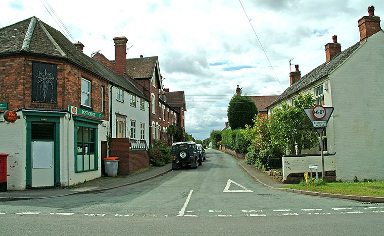
Photo: P L Chadwick, CC BY-SA 2.0.
Hartlebury is a village and civil parish in the Wychavon district of Worcestershire, England. It is 4 miles south of Kidderminster. The village had a population of 3,100 in the 2021 Census.
Elmley Lovett
Hamlet
Photo: Philip Halling, CC BY-SA 2.0.
Elmley Lovett in Worcestershire, England is a civil parish whose residents' homes are quite loosely clustered east of its Hartlebury Trading Estate, as well as in minor neighbourhood Cutnall Green to the near south-east.
Crossway Green
Hamlet

Photo: Philip Halling, CC BY-SA 2.0.
Crossway Green, Worcestershire, England is a village, located south of Kidderminster, Worcestershire as well as Hartlebury, Worcestershire.
Walton Cottages
- Type: Terrace house
- Categories: building and residential building
- Location: Hartlebury, Wychavon District, Worcestershire, West Midlands, England, United Kingdom, Britain and Ireland, Europe
- View on OpenStreetMap
Latitude
52.33485° or 52° 20′ 5″ northLongitude
-2.21484° or 2° 12′ 53″ westOpen location code
9C4V8QMP+W3OpenStreetMap ID
way 879105939OpenStreetMap feature
building=terrace
This page is based on OpenStreetMap, Wikidata, and Wikimedia Commons.
We’d love your help improving our open data sources. Thank you for contributing.
Satellite Map
Discover Walton Cottages from above in high-definition satellite imagery.
Notable Places Nearby
Highlights include Weinerberger Brick and Wienerberger Brick.
Nearby Places
Explore places such as Walton Cottages (STW) and Unit 45.
Worcestershire: Must-Visit Destinations
Delve into Worcester, Redditch, Kidderminster, and Evesham.
Curious Terrace Houses to Discover
Uncover intriguing terrace houses from every corner of the globe.
About Mapcarta. Data © OpenStreetMap contributors and available under the Open Database License". Text is available under the CC BY-SA 4.0 license, except for photos, directions, and the map. Photo: brianac37, CC BY 2.0.