সৎসংঘ শিশুউদ্যান
সৎসংঘ শিশুউদ্যান is a playground in Ranaghat II, Nadia, West Bengal. সৎসংঘ শিশুউদ্যান is situated nearby to Santitala Park, as well as near Bahirgachhi Halt railway station.| Tap on a place to explore it |
Places of Interest Nearby
Highlights include Bahirgachhi Halt railway station and Shantinagar Halt railway station.
Bahirgachhi Halt railway station
Railway station

Photo: Softestpk, CC BY-SA 3.0.
Bahirgachhi Halt railway station is part of the Kolkata Suburban Railway system and operated by Eastern Railway. It is located on the Ranaghat–Gede line in Nadia in the Indian state of West Bengal. Bahirgachhi Halt railway station is situated 350 metres southwest of সৎসংঘ শিশুউদ্যান.
Shantinagar Halt railway station
Railway station
Shantinagar Halt railway station is part of the Kolkata Suburban Railway system and operated by Eastern Railway. It is located on the Ranaghat–Gede line in Nadia in the Indian state of West Bengal. Shantinagar Halt railway station is situated 2 km north of সৎসংঘ শিশুউদ্যান.
Bhayna railway station
Railway station
Bhayna railway station is a halt railway station on the Ranaghat–Gede line of the Kolkata Suburban Railway system and operated by Eastern Railway. It is situated beside Mamjoan Road at Bhayna of Nadia district in the Indian state of West Bengal. Bhayna railway station is situated 4 km north of সৎসংঘ শিশুউদ্যান.
Places in the Area
Nearby places include Bagula and Birnagar.
Bagula
Village
Bagula is a town in the Hanskhali CD block in the Ranaghat subdivision of the Nadia district in the state of West Bengal, India. Bagula is situated 6 km north of সৎসংঘ শিশুউদ্যান.
Birnagar
Town
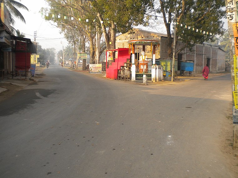
Photo: sushanta mohanta sin…, CC BY 3.0.
Birnagar is an island town situated in the Hooghly River, within the Ranaghat subdivision of Nadia district in West Bengal, India. It traces its origins back to the pre-colonial era when it was established. Birnagar is situated 10 km southwest of সৎসংঘ শিশুউদ্যান.
সৎসংঘ শিশুউদ্যান
- Type: Playground
- Category: recreation area
- Location: Ranaghat II, Nadia, West Bengal, Eastern India, India, South Asia, Asia
- View on OpenStreetMap
Latitude
23.27735° or 23° 16′ 39″ northLongitude
88.63707° or 88° 38′ 13″ eastOperator
Public PlaceOpen location code
7MMC7JGP+WROpenStreetMap ID
way 884036862OpenStreetMap feature
leisure=playground
This page is based on OpenStreetMap, Wikidata, and Wikimedia Commons.
We’d love your help improving our open data sources. Thank you for contributing.
Satellite Map
Discover সৎসংঘ শিশুউদ্যান from above in high-definition satellite imagery.
Notable Places Nearby
Highlights include Santitala Park and Campo Para Park.
Nearby Places
Explore places such as OHT and Bhayna Purbapara Primary School.
West Bengal: Must-Visit Destinations
Delve into Kolkata, Jaynagar Majilpur, Siliguri, and Asansol.
Curious Playgrounds to Discover
Uncover intriguing playgrounds from every corner of the globe.
About Mapcarta. Data © OpenStreetMap contributors and available under the Open Database License". Text is available under the CC BY-SA 4.0 license, except for photos, directions, and the map. Photo: Darkone, CC BY-SA 3.0.