Home Farm
Home Farm is a farm in Bagendon, Cotswold District, England. Home Farm is situated nearby to the forest Hinton Gorse, as well as near Daglingworth Quarry.| Tap on a place to explore it |
Places of Interest Nearby
Highlights include Church of St Margaret and Church of the Holy Rood.
Church of St Margaret
Church

Photo: norman hyett, CC BY-SA 2.0.
The Anglican Church of St Margaret at Bagendon in the Cotswold District of Gloucestershire, England was built in the 12th century. It is a grade I listed building. Church of St Margaret is situated 2,700 feet northeast of Home Farm.
Church of the Holy Rood
Church

Photo: Anthony Brunning, CC BY-SA 2.0.
The Anglican Church of the Holy Rood at Daglingworth in the Cotswold District of Gloucestershire, England was built in the 11th century. It is a Grade I listed building. Church of the Holy Rood is situated 1 mile southwest of Home Farm.
Church of St Mary Magdalene
Church

Photo: Vieve Forward, CC BY-SA 2.0.
Church of St Mary Magdalene is situated 1¼ miles southeast of Home Farm.
Places in the Area
Nearby places include Stratton and Woodmancote.
Stratton
Village

Photo: Dave Bushell, CC BY-SA 2.0.
Stratton is a village, ward and former civil parish about 22 miles from Gloucester, now in the parish of Cirencester, in the Cotswold district, in the county of Gloucestershire, England. Stratton is situated 1½ miles southeast of Home Farm.
Woodmancote
Village
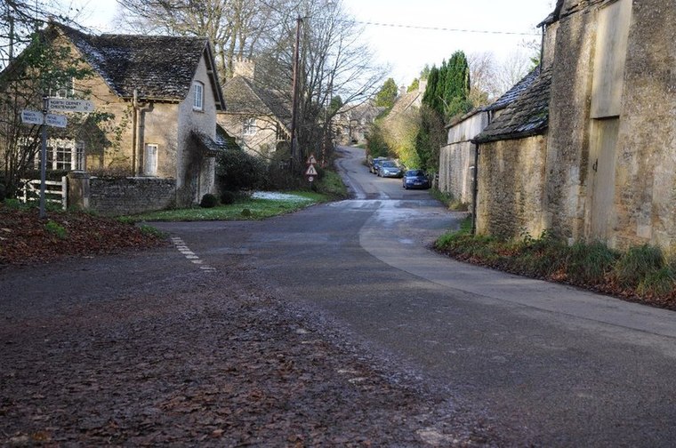
Photo: Philip Halling, CC BY-SA 2.0.
Woodmancote is a Cotswolds village near Cirencester, Gloucestershire, England. The village lies just off the A435. The village is 0.2 square miles in area. Woodmancote is situated 2 miles north of Home Farm.
Duntisbourne Leer
Village

Photo: Saffron Blaze, CC BY-SA 3.0.
Duntisbourne Leer is a hamlet in the county of Gloucestershire, and lies within the Cotswolds, a range of hills designated an Area of Outstanding Natural Beauty. Duntisbourne Leer is situated 2 miles northwest of Home Farm.
Home Farm
- Type: Farm
- Category: agriculture
- Location: Bagendon, Cotswold District, Gloucestershire, West Country, England, United Kingdom, Britain and Ireland, Europe
- View on OpenStreetMap
Latitude
51.75332° or 51° 45′ 12″ northLongitude
-1.99366° or 1° 59′ 37″ westOpen location code
9C3WQ234+8GOpenStreetMap ID
way 895164296OpenStreetMap feature
landuse=farmyard
This page is based on OpenStreetMap, Wikidata, and Wikimedia Commons.
We’d love your help improving our open data sources. Thank you for contributing.
Satellite Map
Discover Home Farm from above in high-definition satellite imagery.
Places with the Same Name
Discover other places named “Home Farm”.
Notable Places Nearby
Highlights include Hinton Gorse and Daglingworth Quarry.
Nearby Places
Explore places such as Fire & Flow Coffee Roastery & Espresso Bar and St Margaret’s Church.
Gloucestershire: Must-Visit Destinations
Delve into Gloucester, Cheltenham, Cirencester, and Yate.
Curious Farms to Discover
Uncover intriguing farms from every corner of the globe.
About Mapcarta. Data © OpenStreetMap contributors and available under the Open Database License". Text is available under the CC BY-SA 4.0 license, except for photos, directions, and the map. Photo: Matthew Hartley, CC BY-SA 2.0.