Slades Farm
Slades Farm is a building in Gotherington, Tewkesbury, England. Slades Farm is situated nearby to the peak Nottingham Hill, as well as near the historic building Washpool.| Tap on a place to explore it |
Places of Interest Nearby
Highlights include Gotherington railway station and Prescott Speed Hill Climb.
Gotherington railway station
Railway station

Photo: Gwsralex, CC BY-SA 4.0.
Gotherington railway station is a railway station serving the village of Gotherington in Gloucestershire, England. The station is located just to the north of the village. Gotherington railway station is situated 1¼ miles north of Slades Farm.
Prescott Speed Hill Climb
Sports venue
 Prescott Speed Hill Climb is a hillclimb in Gloucestershire, England. The course used for most events is 1,128 yards in length, and the hill record is held by Matthew Ryder who took the outright hill record in a 4.0L Judd V8 powered Gould GR59 single seater with a time of 34.6 seconds on Sunday 18 August September 2024. Prescott Speed Hill Climb is situated 1¼ miles north of Slades Farm.
Cleeve Hill
Peak

Photo: Wikimedia, Public domain.
Cleeve Hill is the highest point both of the Cotswolds hill range and of the county of Gloucestershire, at 330 m. It is located on Cleeve Common, which is a Site of Special Scientific Interest looked after by a small charity called Cleeve Common Trust. Cleeve Hill is situated 2½ miles southeast of Slades Farm.
Places in the Area
Nearby places include Woodmancote and Bishop’s Cleeve.
Woodmancote
Village

Photo: Paul Higgins, CC BY-SA 2.0.
Woodmancote is a village and civil parish in Gloucestershire, England. The parish lies immediately east of Bishop's Cleeve; the village is about 3+1⁄2 miles north of Cheltenham.
Bishop’s Cleeve
Town
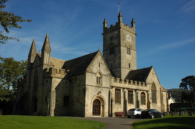
Photo: Philip Halling, CC BY-SA 2.0.
Bishop's Cleeve is a large village and civil parish in the Borough of Tewkesbury in the ceremonial county of Gloucestershire, England. The village lies at the foot of Cleeve Hill, the highest point in the Cotswolds.
Stanley Pontlarge
Village
Stanley Pontlarge is a village and former civil parish, now in the civil parish of Prescott and the ecclesiastical parish of Winchcombe, in the Tewkesbury district, in the county of Gloucestershire, England.
Slades Farm
- Type: Building
- Location: Gotherington, Tewkesbury, Gloucestershire, West Country, England, United Kingdom, Britain and Ireland, Europe
- View on OpenStreetMap
Latitude
51.95016° or 51° 57′ 1″ northLongitude
-2.02926° or 2° 1′ 45″ westOpen location code
9C3VXX2C+37OpenStreetMap ID
way 897293140OpenStreetMap feature
building=yes
This page is based on OpenStreetMap, Wikidata, and Wikimedia Commons.
We’d love your help improving our open data sources. Thank you for contributing.
Satellite Map
Discover Slades Farm from above in high-definition satellite imagery.
Places with the Same Name
Discover other places named “Slades Farm”.
Notable Places Nearby
Highlights include Nottingham Hill and Nottingham Hill camp.
Nearby Places
Explore places such as Longwood Farm and Apple Tree.
Gloucestershire: Must-Visit Destinations
Delve into Gloucester, Cheltenham, Cirencester, and Yate.
Curious Buildings to Discover
Uncover intriguing buildings from every corner of the globe.
About Mapcarta. Data © OpenStreetMap contributors and available under the Open Database License". Text is available under the CC BY-SA 4.0 license, except for photos, directions, and the map. Photo: Matthew Hartley, CC BY-SA 2.0.