Dyksfeart
Dyksfeart is in Waadhoeke, Friesland. Dyksfeart is situated nearby to the hamlet Dijkshoek, as well as near the village Firdgum.| Tap on a place to explore it |
Places of Interest Nearby
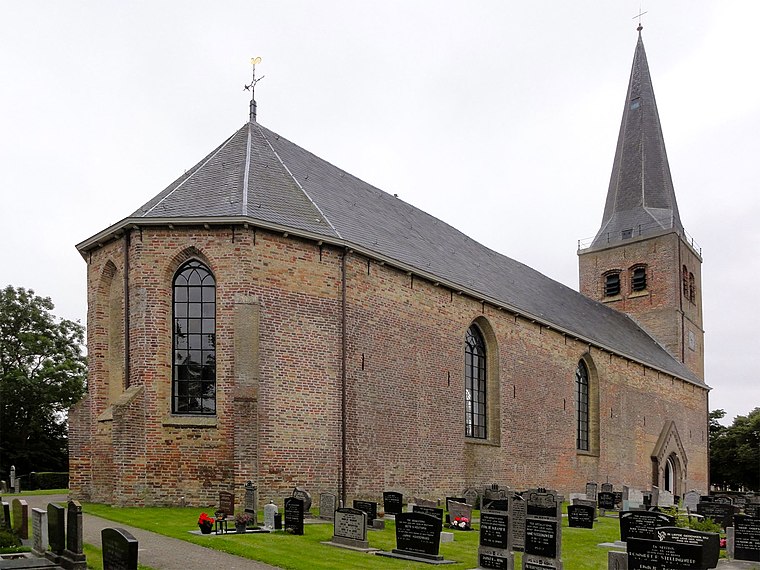
Highlights include Sint-Joriskerk.
Places in the Area
Nearby places include Dijkshoek and Firdgum.
Dijkshoek
Hamlet
Dijkshoek is a hamlet in the Dutch municipality of Waadhoeke in the province of Friesland. It is located near the Wadden Sea north of Tzummarum and northwest of Firdgum, of which it is a part administratively.
Firdgum
Village
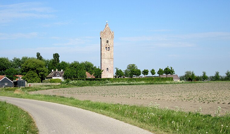
Photo: Ieneach fan ‘e Esk, CC BY-SA 4.0.
Firdgum is a small village in Waadhoeke in the province of Friesland, the Netherlands. It had a population of around 60 in January 2014. The Dutch reformed church of Firdgum was demolished in 1794 as it was in a state of disrepair, but the 13th-century church tower still remains to date.
Tzummarum
Village

Photo: Michielverbeek, CC BY-SA 3.0.
Tzummarum is a village in Waadhoeke municipality in the province of Friesland, the Netherlands. It had a population of around 1,414 in January 2014.
Dyksfeart
- Type: Body of water
- Location: Waadhoeke, Friesland, Northern Netherlands, Netherlands, Benelux, Europe
- View on OpenStreetMap
Latitude
53.25549° or 53° 15′ 20″ northLongitude
5.53452° or 5° 32′ 4″ eastOpen location code
9F577G4M+5ROpenStreetMap ID
way 898412916OpenStreetMap feature
natural=water
This page is based on OpenStreetMap, Wikidata, and Wikimedia Commons.
We’d love your help improving our open data sources. Thank you for contributing.
Satellite Map
Discover Dyksfeart from above in high-definition satellite imagery.
In Other Languages
“Dyksfeart” goes by many names.
- Dutch: “Dijkvaart”
Notable Places Nearby
Highlights include Kwelder Westhoek and Jelgersmahiem.
Nearby Places
Explore places such as Atsmasate and Watdataangaat.
Friesland: Must-Visit Destinations
Delve into Leeuwarden, Heerenveen, Sneek, and Harlingen.
Curious Places to Discover
Uncover intriguing places from every corner of the globe.
About Mapcarta. Data © OpenStreetMap contributors and available under the Open Database License". Text is available under the CC BY-SA 4.0 license, except for photos, directions, and the map. Photo: WiDi, CC BY-SA 3.0.