Central Sydney Industrial Estate
Central Sydney Industrial Estate is in Parramatta, Sydney, New South Wales. Central Sydney Industrial Estate is situated nearby to the college Tunnelling and Infrastructure Academy, as well as near the bridle path Racetrack.| Tap on a place to explore it |
Places of Interest Nearby
Highlights include Rosehill Gardens Racecourse and Clyde railway station.
Rosehill Gardens Racecourse
Sports venue
The Rosehill Gardens Racecourse is located in the Sydney suburb of Rosehill, New South Wales, Australia. It is operated by the Australian Turf Club. Rosehill holds horse races for thoroughbred gallopers on a grass surface. Rosehill Gardens Racecourse is situated 1 km northwest of Central Sydney Industrial Estate.
Clyde railway station
Railway station
 Clyde railway station is a heritage-listed railway station located on the Main Suburban line, serving the Sydney suburb of Clyde. It is served by Sydney Trains T1 Western and T2 Leppington & Inner West line services. Clyde railway station is situated 1½ km southwest of Central Sydney Industrial Estate.
Granville railway station
Railway station

Photo: OAlexander, CC BY-SA 2.5.
Granville railway station is a heritage-listed railway station located on the Main Suburban line, serving the suburb of Granville, New South Wales, Australia. Granville railway station is situated 2 km west of Central Sydney Industrial Estate.
Places in the Area
Nearby places include Rydalmere and Newington.
Rydalmere
Suburb
Rydalmere is a suburb of Sydney, in the state of New South Wales, Australia. Rydalmere is approximately 21 kilometres west of the Sydney central business district in the local government area of the City of Parramatta.
Newington
Suburb
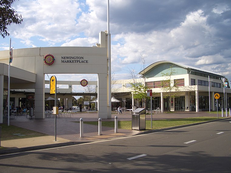 Newington is a western suburb of Sydney, in the state of New South Wales, Australia. It is 16 kilometres west of the Sydney central business district, in the local government area of City of Parramatta.
Dundas
Suburb
Dundas is a suburb of Sydney, New South Wales, Australia. Dundas is located 21 kilometres north-west of the Sydney central business district, in the local government area of the City of Parramatta, and the electoral division of Bennelong. Dundas is situated 3 km north of Central Sydney Industrial Estate.
Central Sydney Industrial Estate
- Type: Brownfield land
- Category: industry
- Location: Parramatta, Sydney, New South Wales, Australia, Oceania
- View on OpenStreetMap
Latitude
-33.82971° or 33° 49′ 47″ southLongitude
151.03257° or 151° 1′ 57″ eastOpen location code
4RRH52CM+42OpenStreetMap ID
way 903003941OpenStreetMap feature
landuse=brownfield
This page is based on OpenStreetMap, Wikidata, and Wikimedia Commons.
We’d love your help improving our open data sources. Thank you for contributing.
Satellite Map
Discover Central Sydney Industrial Estate from above in high-definition satellite imagery.
Notable Places Nearby
Highlights include Tunnelling and Infrastructure Academy and Racetrack.
Nearby Places
Explore places such as Downer Sustainable Road Resource Centre and Rosehill Zone Substation.
Sydney: Must-Visit Destinations
Delve into Eastern suburbs, City Centre, Sydney Harbour National Park, and Inner West.
Curious Places to Discover
Uncover intriguing places from every corner of the globe.
About Mapcarta. Data © OpenStreetMap contributors and available under the Open Database License". Text is available under the CC BY-SA 4.0 license, except for photos, directions, and the map. Photo: Wikimedia, CC BY-SA 3.0.