CPI
CPI is a building in Sedgefield, County Durham, England. CPI is situated nearby to NETPark, as well as near the forest Fishburn Wood.| Tap on a place to explore it |
Places of Interest Nearby
Highlights include NETPark and Sedgefield Library.
NETPark
NETPark, or the North East Technology Park, is a British science park in Sedgefield, Durham. It is owned by Durham County Council and run by Business Durham, the business support service of the council, with strategic partners Centre for Process Innovation and Durham University. NETPark is situated 790 feet west of CPI.Sedgefield Library
Library

Photo: Ian S, CC BY-SA 2.0.
Sedgefield Library is situated 1 mile south of CPI.
Church of St Edmund
Church

Photo: Stephen Craven, CC BY-SA 2.0.
The Church of St Edmund is a Church of England parish church in Sedgefield, County Durham. The church is a Grade I listed building and dates from the 13th century. Church of St Edmund is situated 1¼ miles south of CPI.
Places in the Area
Nearby places include Fishburn and Sedgefield.
Fishburn
Village

Photo: peter robinson, CC BY-SA 2.0.
Fishburn is a village and civil parish in County Durham, in England. It is situated about 12 miles west of Hartlepool. The population was 2,454, increasing to 2,588 at the 2011 Census.
Sedgefield
Village

Photo: Bill Henderson, CC BY-SA 2.0.
Sedgefield is a market town and civil parish in County Durham, England. It had a population of 4,986 in the 2021 census. It has the only operating racecourse in County Durham.
Bishop Middleham
Village
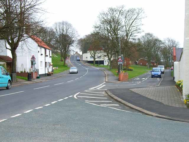
Photo: Oliver Dixon, CC BY-SA 2.0.
Bishop Middleham is a village in County Durham, in England. The population of the parish as taken at the 2011 census was 1,275 It is close to Sedgefield. Bishop Middleham is situated 2 miles west of CPI.
CPI
- Type: Commercial building
- Categories: building and office
- Location: Sedgefield, County Durham, North East England, England, United Kingdom, Britain and Ireland, Europe
- View on OpenStreetMap
Latitude
54.66984° or 54° 40′ 11″ northLongitude
-1.44703° or 1° 26′ 49″ westOpen location code
9C6WMH93+W5OpenStreetMap ID
way 904634721OpenStreetMap feature
building=commercial
This page is based on OpenStreetMap, Wikidata, and Wikimedia Commons.
We’d love your help improving our open data sources. Thank you for contributing.
Satellite Map
Discover CPI from above in high-definition satellite imagery.
Places with the Same Name
Discover other places named “CPI”.
Notable Places Nearby
Highlights include Fishburn Wood and Sedgefield Community Hospital.
Nearby Places
Explore places such as Cottages and Winterton East.
County Durham: Must-Visit Destinations
Delve into Durham, Darlington, Hartlepool, and Stockton-on-Tees.
Curious Places to Discover
Uncover intriguing places from every corner of the globe.
About Mapcarta. Data © OpenStreetMap contributors and available under the Open Database License". Text is available under the CC BY-SA 4.0 license, except for photos, directions, and the map. Photo: Roberto Strauss, CC BY 2.0.