Centro Social Pintoria
Centro Social Pintoria is a building in Oviedo, Asturias. Centro Social Pintoria is situated nearby to the church Iglesia de Santa María, as well as near the cemetery Cementerio de Pintoria.| Tap on a place to explore it |
Places of Interest Nearby
Highlights include Trubia train station and La Lluera caves.
Trubia train station
Railway station

Photo: Savh, CC BY-SA 3.0.
Trubia train station is a railway station, which is situated 1½ km north of Centro Social Pintoria.
La Lluera caves
Cave
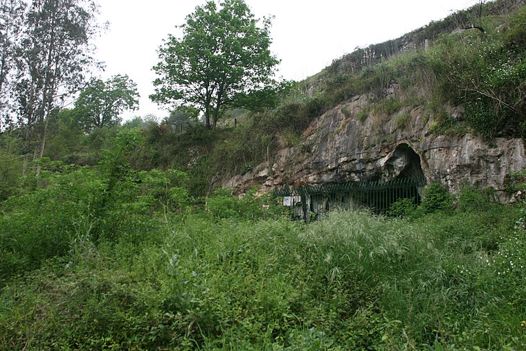
Photo: Nachosan, CC BY-SA 3.0.
La Lluera caves is situated 2 km east of Centro Social Pintoria.
Soto Udrión train station
Railway station

Photo: Xuliu Pombar, CC0.
Soto Udrión train station is a railway station, which is situated 2½ km north of Centro Social Pintoria.
Places in the Area
Nearby places include Caces and San Andrés.

San Andrés
Hamlet

Photo: Omarete, CC BY-SA 4.0.
San Andrés is a hamlet, which is situated 3½ km southwest of Centro Social Pintoria.
Les Carangues
Hamlet

Photo: Las carangas, CC BY-SA 3.0.
Les Carangues is a hamlet, which is situated 3½ km south of Centro Social Pintoria.
Centro Social Pintoria
- Type: Building
- Location: Oviedo, Asturias, Green Spain, Spain, Iberia, Europe
- View on OpenStreetMap
Latitude
43.33555° or 43° 20′ 8″ northLongitude
-5.96098° or 5° 57′ 40″ westOpen location code
8CMP82PQ+6JOpenStreetMap ID
way 904802730OpenStreetMap feature
building=yes
This page is based on OpenStreetMap, Wikidata, and Wikimedia Commons.
We’d love your help improving our open data sources. Thank you for contributing.
Satellite Map
Discover Centro Social Pintoria from above in high-definition satellite imagery.
Notable Places Nearby
Highlights include Iglesia de Santa María and Cementerio de Pintoria.
Nearby Places
Explore places such as Godos and Godos de Arriba.
Asturias: Must-Visit Destinations
Delve into Gijón, Aviles, Villaviciosa, and Grado.
Curious Buildings to Discover
Uncover intriguing buildings from every corner of the globe.
About Mapcarta. Data © OpenStreetMap contributors and available under the Open Database License". Text is available under the CC BY-SA 4.0 license, except for photos, directions, and the map. Photo: Wikimedia, CC0.