Barranca de la Conquista
Barranca de la Conquista is an evergreen forest in Huixquilucan Municipality, Mexico State. Barranca de la Conquista is situated nearby to the village La Herradura, as well as near Huizachal.| Tap on a place to explore it |
Places of Interest
Highlights include Embassy of Sweden and Embassy of Argentina.
Embassy of Sweden
Government office
The Embassy of Sweden in Mexico City is Sweden's diplomatic mission in Mexico. The mission of the embassy is to represent Swedish interests in Mexico, as well as to strengthen bilateral relations within the governmental, commercial, business, academic, cultural and civil society spheres, with a particular emphasis on cooperation for sustainable development.
Embassy of Argentina
Government office
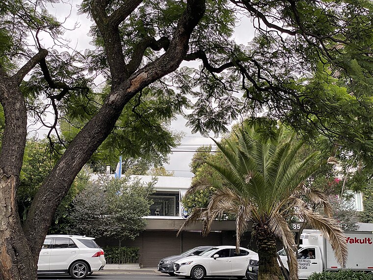
Photo: Aquintero82, CC BY-SA 4.0.
Embassy of Argentina is a government office.
Embassy of Malaysia
Government office

Photo: Aquintero82, CC BY-SA 4.0.
Embassy of Malaysia is a government office.
Places in the Area
Nearby places include Polanco and Bosques de las Lomas.
Polanco

Photo: Matthew Rutledge, CC BY 2.0.
Polanco refers to an area of Mexico City north of Chapultepec Park. This district is delimited by Paseo de la Reforma to the south, Boulevard Manuel Avila Camacho to the west, Avenida Ejercito Nacional to the north and Avenida Mariano Escobedo to the east.
Bosques de las Lomas
Neighborhood
Bosques de las Lomas is a colonia, or officially recognised neighbourhood, located in western Mexico City. It is widely considered one of the most expensive and richest areas in Latin America, and perhaps the most exclusive area in Mexico City.
Santa Fe de Mexico
Village
Santa Fé de México was a Pueblo Hospital founded by Vasco de Quiroga in 1532. Its ruins are located in the town of Santa Fé in the delegación of Álvaro Obregón in western Mexico City.
Barranca de la Conquista
- Type: Evergreen forest
- Category: forest
- Location: Huixquilucan Municipality, Mexico State, Central Mexico, Mexico, North America
- View on OpenStreetMap
Latitude
19.4226° or 19° 25′ 21″ northLongitude
-99.2508° or 99° 15′ 3″ westOpen location code
76F2CPFX+2MOpenStreetMap ID
way 906017322OpenStreetMap feature
natural=wood
This page is based on OpenStreetMap, Wikidata, and Wikimedia Commons.
We’d love your help improving our open data sources. Thank you for contributing.
Satellite Map
Discover Barranca de la Conquista from above in high-definition satellite imagery.
Localities in the Area
Explore places such as La Herradura and Colonia La Herradura.
Notable Places Nearby
Highlights include Laderas del Huizachal and Parque Héroes de la Revolución.
Mexico State: Must-Visit Destinations
Delve into Tequixquiac, Toluca, Teotihuacan, and Ecatepec.
Curious Evergreen Forests to Discover
Uncover intriguing evergreen forests from every corner of the globe.
About Mapcarta. Data © OpenStreetMap contributors and available under the Open Database License". Text is available under the CC BY-SA 4.0 license, except for photos, directions, and the map. Photo: Wikimedia, CC0.