GenTrack
GenTrack is a building in Auckland, Auckland Region. GenTrack is situated nearby to the convention center Victory Convention Centre, as well as near the school St Mary’s College.| Tap on a place to explore it |
Places of Interest Nearby
Highlights include Sky Tower and Victoria Park.
Sky Tower

Photo: Orderinchaos, CC BY-SA 4.0.
The Sky Tower is a telecommunications and observation tower in Auckland, New Zealand. Located at the corner of Victoria and Federal Streets within the city's CBD, it is 328 metres tall, as measured from ground level to the top of the mast, making it the… Sky Tower is situated 1 km east of GenTrack.
Victoria Park
Park

Photo: Ingolfson, Public domain.
Victoria Park is a park and sports ground in the Auckland city centre, New Zealand. It was opened in 1905 and named after the queen who had died four years earlier. Victoria Park is situated 310 metres east of GenTrack.
St Mary’s Old Convent Chapel
Church

Photo: Itineris55, CC BY-SA 4.0.
St Mary's Old Convent Chapel is a category 1 historic building in Ponsonby, built in 1865–1866. St Mary’s Old Convent Chapel is situated 200 metres west of GenTrack.
Places in the Area
Nearby places include Saint Marys Bay and Wynyard Quarter.
Saint Marys Bay
Suburb

Photo: Prosperosity, CC BY 4.0.
Saint Marys Bay is an inner suburb of Auckland, New Zealand.
Wynyard Quarter
Quarter

Photo: JohnTripperson, CC BY-SA 3.0.
The Wynyard Quarter is a reclaimed piece of land on the Waitematā Harbour at the western edge of the Auckland waterfront, New Zealand. It is located to the north of Freemans Bay and to the west of the Viaduct Basin.
Ponsonby
Suburb
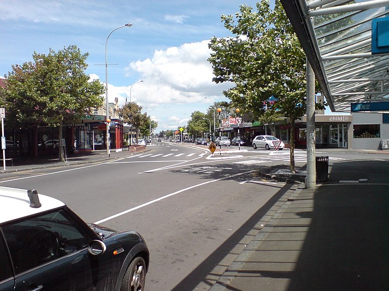
Photo: Ingolfson, Public domain.
Ponsonby is an inner-city suburb of Auckland located 2 km west of the Auckland CBD. The suburb is oriented along a ridge running north–south, which is followed by the main street of the suburb, Ponsonby Road.
GenTrack
- Type: Information technology
- Categories: building and office
- Location: Auckland, Auckland Region, North Island, New Zealand, Oceania
- View on OpenStreetMap
Latitude
-36.84572° or 36° 50′ 45″ southLongitude
174.75057° or 174° 45′ 2″ eastOpen location code
4VMP5Q32+P6OpenStreetMap ID
way 907610415OpenStreetMap feature
building=yesOpenStreetMap feature
office=it
This page is based on OpenStreetMap, Wikidata, and Wikimedia Commons.
We’d love your help improving our open data sources. Thank you for contributing.
Satellite Map
Discover GenTrack from above in high-definition satellite imagery.
Notable Places Nearby
Highlights include Victory Convention Centre and St Mary’s College.
Nearby Places
Explore places such as Victory and Leighs Construction.
Auckland: Must-Visit Destinations
Delve into Central Auckland, North Shore, South Auckland, and West Auckland.
Curious Places to Discover
Uncover intriguing places from every corner of the globe.
About Mapcarta. Data © OpenStreetMap contributors and available under the Open Database License". Text is available under the CC BY-SA 4.0 license, except for photos, directions, and the map. Photo: Ralf Roletschek, CC BY 2.5.