Inverloch Surfside Holiday Retreat
Inverloch Surfside Holiday Retreat is a motorhome stopover in Bass Coast Shire, Victoria. Inverloch Surfside Holiday Retreat is situated nearby to the park Outrigger Reserve, as well as near Dog Off Leash Reserve.| Tap on a place to explore it |
Places in the Area
Nearby places include Inverloch and Cape Paterson.
Inverloch
Town

Photo: Sentinel user, CC BY-SA 3.0.
Inverloch is a town in Victoria, Australia. It is 143 kilometres south east of Melbourne via the South Gippsland Highway on the Bass Highway in the Bass Coast Shire of Gippsland. Inverloch is situated 2½ km northeast of Inverloch Surfside Holiday Retreat.
Cape Paterson
Village
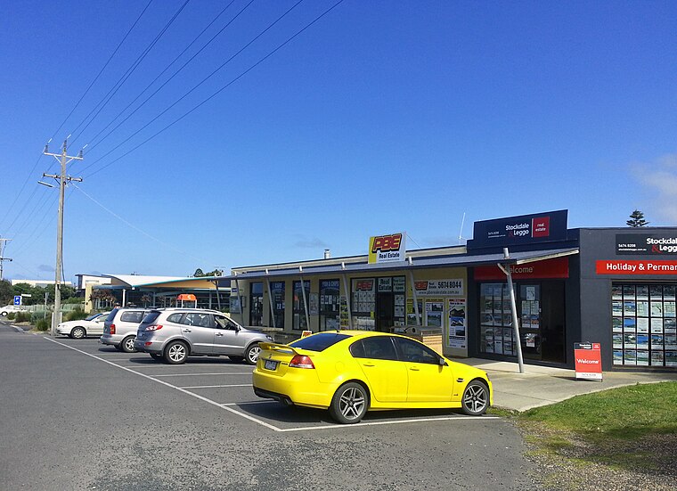
Photo: Dalysporter, CC BY-SA 3.0.
Cape Paterson is town located near the town of Wonthaggi, 132 kilometres south-east of Melbourne via the South Gippsland and Bass Highways, in the Bass Coast Shire of Gippsland, Victoria, Australia. Cape Paterson is situated 8 km southwest of Inverloch Surfside Holiday Retreat.
Inverloch Surfside Holiday Retreat
- Type: Motorhome stopover
- Categories: tourism and transportation
- Location: Bass Coast Shire, Victoria, Australia, Oceania
- View on OpenStreetMap
Latitude
-38.64308° or 38° 38′ 35″ southLongitude
145.70062° or 145° 42′ 2″ eastOpen location code
4RH79P42+Q6OpenStreetMap ID
way 911735981OpenStreetMap feature
tourism=caravan_site
This page is based on OpenStreetMap, Wikidata, and Wikimedia Commons.
We’d love your help improving our open data sources. Thank you for contributing.
Satellite Map
Discover Inverloch Surfside Holiday Retreat from above in high-definition satellite imagery.
Notable Places Nearby
Highlights include Outrigger Reserve and Dog Off Leash Reserve.
Nearby Places
Explore places such as Inverloch Surf Life Saving Club and shed.
Victoria: Must-Visit Destinations
Delve into Melbourne, CBD, Geelong, and Ballarat.
Curious Motorhome Stopovers to Discover
Uncover intriguing motorhome stopovers from every corner of the globe.
About Mapcarta. Data © OpenStreetMap contributors and available under the Open Database License". Text is available under the CC BY-SA 4.0 license, except for photos, directions, and the map. Photo: Ricmik, CC BY-SA 3.0.