Vollbrecht & Pohl
Vollbrecht & Pohl is a building in Itzehoe, Steinburg, Schleswig-Holstein which is located on Gasstraße. Vollbrecht & Pohl is situated nearby to the church Christuszentrum Itzehoe, as well as near the sports venue Itzehoer Wasser-Wanderer e. V..| Tap on a place to explore it |
Places of Interest Nearby
Highlights include Itzehoe station and Prinzesshof.
Itzehoe station
Railway station
 Itzehoe station is a railway station in the town of Itzehoe in the German state of Schleswig-Holstein. It is located on the Marsh Railway, which is electrified from Elmshorn up to this point. It is classified by Deutsche Bahn as a category 3 station. Itzehoe station is situated 1 km southeast of Vollbrecht & Pohl.
Prinzesshof
Museum
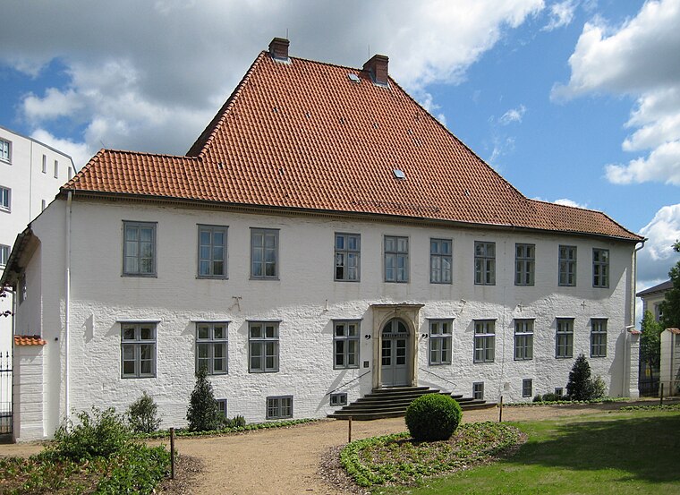
Photo: Nightflyer, CC BY 3.0.
Prinzesshof is a museum, which is situated 1½ km southeast of Vollbrecht & Pohl.
Germanengrab
Archaeological site

Photo: Nightflyer, CC BY-SA 3.0.
Germanengrab is an archaeological site, which is situated 1¼ km east of Vollbrecht & Pohl.
Places in the Area
Nearby places include Münsterdorf and Lägerdorf.
Münsterdorf
Village
 Münsterdorf is a municipality in the district of Steinburg, in Schleswig-Holstein, Germany. Münsterdorf is situated 4 km southeast of Vollbrecht & Pohl.
Lägerdorf
Village
 Lägerdorf is a municipality in the district of Steinburg, in Schleswig-Holstein, Germany. Lägerdorf is situated 7 km southeast of Vollbrecht & Pohl.
Wilster
Town

Photo: TheBo, CC BY-SA 3.0.
Wilster is a town in Steinburg district in Schleswig-Holstein, Germany. Wilster is situated 8 km west of Vollbrecht & Pohl.
Vollbrecht & Pohl
- Type: Building
- Address: Gasstraße 7, Itzehoe, 25524
- Location: Itzehoe, Steinburg, South Holstein, Schleswig-Holstein, Germany, Central Europe, Europe
- View on OpenStreetMap
Latitude
53.93006° or 53° 55′ 48″ northLongitude
9.49738° or 9° 29′ 51″ eastOpen location code
9F5FWFJW+2XOpenStreetMap ID
way 91618235OpenStreetMap feature
building=yes
This page is based on OpenStreetMap, Wikidata, and Wikimedia Commons.
We’d love your help improving our open data sources. Thank you for contributing.
Satellite Map
Discover Vollbrecht & Pohl from above in high-definition satellite imagery.
Places with the Same Name
Discover other places named “Vollbrecht & Pohl”.
Notable Places Nearby
Highlights include Christuszentrum Itzehoe and Itzehoer Wasser-Wanderer e. V..
Nearby Places
Explore places such as Küchenstudio Böge and MEGA.
South Holstein: Must-Visit Destinations
Delve into Neumünster, Wedel, Glückstadt, and Bad Segeberg.
Curious Buildings to Discover
Uncover intriguing buildings from every corner of the globe.
About Mapcarta. Data © OpenStreetMap contributors and available under the Open Database License". Text is available under the CC BY-SA 4.0 license, except for photos, directions, and the map. Photo: C.Löser, CC BY 3.0 de.