ehm. Kiesabbau
ehm. Kiesabbau is a quarry in Herzberg am Harz, Göttingen, Lower Saxony. ehm. Kiesabbau is situated nearby to the ruins Pöhlder Schutzbunker, as well as near the forest Pöhlder Wald.| Tap on a place to explore it |
Places of Interest Nearby
Highlights include Wiedensee and Herzberg station.

Herzberg station
Railway station

Photo: ChristianSchd, CC BY-SA 4.0.
Herzberg station is a railway station in the municipality of Herzberg am Harz, located in the Göttingen district in Lower Saxony, Germany. Herzberg station is situated 2½ km north of ehm. Kiesabbau.
Johannes-Servatius-Kirche
Church
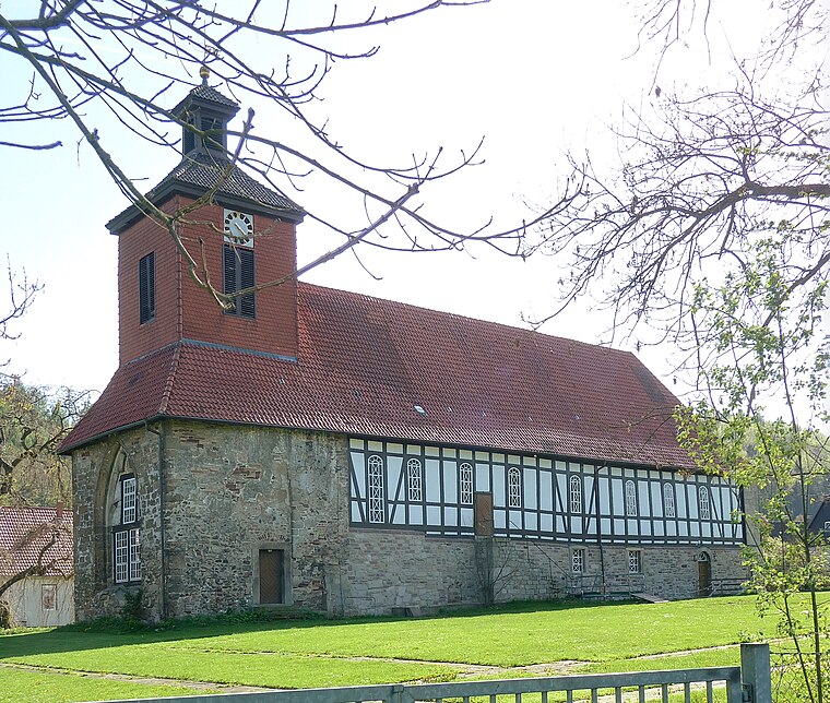
Photo: Dehio, CC BY-SA 3.0.
Johannes-Servatius-Kirche is a church, which is situated 2 km southwest of ehm. Kiesabbau.
Places in the Area
Nearby places include Pöhlde and Scharzfeld.
Pöhlde
Village
Pöhlde is a village in southern Lower Saxony in Germany. It is part of the town Herzberg am Harz. It has a population of 2207. Archaeological excavation has revealed traces of settlement dating to the 2nd through 4th centuries AD.
Scharzfeld
Village

Photo: Kassandro, CC BY-SA 3.0.
Scharzfeld is a village in the borough of Herzberg am Harz in the district of Göttingen in South Lower Saxony, Germany. Scharzfeld lies at a height of about 220 m above sea level and has 1,765 inhabitants. Scharzfeld is situated 3½ km east of ehm. Kiesabbau.
Rhumspringe
Village

Photo: Dehio, CC BY-SA 3.0.
Rhumspringe is a municipality in the district of Göttingen, in Lower Saxony, Germany. It is part of the Eichsfeld. The source of the river Rhume is at Rhume Spring in Rhumspringe. Rhumspringe is situated 5 km southwest of ehm. Kiesabbau.
ehm. Kiesabbau
- Type: Quarry
- Category: industry
- Location: Herzberg am Harz, Göttingen, Southern Lower Saxony, Lower Saxony, Germany, Central Europe, Europe
- View on OpenStreetMap
Latitude
51.62151° or 51° 37′ 17″ northLongitude
10.3304° or 10° 19′ 49″ eastOpen location code
9F3GJ8CJ+J5OpenStreetMap ID
way 917687230OpenStreetMap feature
landuse=quarry
This page is based on OpenStreetMap, Wikidata, and Wikimedia Commons.
We’d love your help improving our open data sources. Thank you for contributing.
Satellite Map
Discover ehm. Kiesabbau from above in high-definition satellite imagery.
Notable Places Nearby
Highlights include Pöhlder Schutzbunker and Pöhlder Wald.
Nearby Places
Explore places such as Ferienhaus Gänsewinkel and Umspannwerk Pöhlde.
Southern Lower Saxony: Must-Visit Destinations
Delve into Göttingen, Goslar, Hamelin, and Hann. Münden.
Curious Quarries to Discover
Uncover intriguing quarries from every corner of the globe.
About Mapcarta. Data © OpenStreetMap contributors and available under the Open Database License". Text is available under the CC BY-SA 4.0 license, except for photos, directions, and the map. Photo: Wikimedia, CC BY-SA 3.0.