Tenderlinks
Tenderlinks is a day care in Lambeth, Greater London, England. Tenderlinks is situated nearby to the community center Streatham Support Hub, as well as near South London Islamic Centre.| Tap on a place to explore it |
Places of Interest Nearby
Highlights include Streatham railway station and St Leonard’s Church.
Streatham railway station
Railway station

Photo: Sunil060902, CC BY-SA 3.0.
Streatham railway station is a station in central Streatham in south London. Its main entrance now is on Streatham High Road, and is in London fare zone 3. Streatham railway station is situated 850 feet southeast of Tenderlinks.
St Leonard’s Church
Church

Photo: Robert Cutts, CC BY 2.0.
St Leonard's Church is a Church of England parish church in the London Borough of Lambeth. It is a Grade II listed building and occupies a prominent position on the west side of Streatham High Road, at its junction with Tooting Bec Gardens and Mitcham Lane. St Leonard’s Church is situated 760 feet northeast of Tenderlinks.
Streatham Methodist Church
Church

Photo: Des Blenkinsopp, CC BY-SA 2.0.
Streatham Methodist Church is situated 970 feet southwest of Tenderlinks.
Places in the Area
Nearby places include Streatham and Streatham Park.
Streatham
Suburb

Photo: Stephen Richards, CC BY-SA 2.0.
Streatham, a district in south London in England, lies five miles south of Charing Cross. It falls mostly within the London Borough of Lambeth, with some parts extending westward into the neighbouring London Borough of Wandsworth.
Streatham Park
Neighborhood
Streatham Park is an area of suburban South London that comprises the eastern part of Furzedown ward in the London Borough of Wandsworth, formerly in the historic parish of Streatham.
Furzedown
Suburb
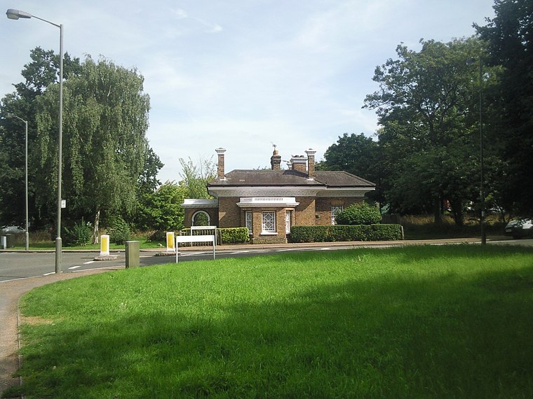
Photo: Marathon, CC BY-SA 2.0.
Furzedown is a ward, in both the districts of Streatham and Tooting within the London Borough of Wandsworth in south west London. It is a mainly residential area close to Tooting Commons, which provide a large open space including Tooting Bec Lido.
Tenderlinks
- Type: Day care
- Category: building
- Location: Lambeth, Greater London, London, England, United Kingdom, Britain and Ireland, Europe
- View on OpenStreetMap
Latitude
51.42785° or 51° 25′ 40″ northLongitude
-0.13351° or 0° 8′ 1″ westOpen location code
9C3XCVH8+4HOpenStreetMap ID
way 918342460OpenStreetMap feature
amenity=childcareOpenStreetMap feature
building=yes
This page is based on OpenStreetMap, Wikidata, and Wikimedia Commons.
We’d love your help improving our open data sources. Thank you for contributing.
Satellite Map
Discover Tenderlinks from above in high-definition satellite imagery.
Notable Places Nearby
Highlights include Streatham Support Hub and South London Islamic Centre.
Nearby Places
Explore places such as Ambleside Avenue and Tyrone Court.
London: Must-Visit Destinations
Delve into South Kensington-Chelsea, Heathrow Airport, City of London, and Westminster.
Curious Day Cares to Discover
Uncover intriguing day cares from every corner of the globe.
About Mapcarta. Data © OpenStreetMap contributors and available under the Open Database License". Text is available under the CC BY-SA 4.0 license, except for photos, directions, and the map. Photo: brodiepunk, CC BY 2.0.